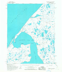
1955 Map of Wainwright C-2
USGS Topo · Published 1967About this map
Wainwright sits prominently on the shoreline of the Chukchi Sea in this mid-century coastal survey. The settlement is positioned near a small Cemetery and a Winter Trail that tracks the coastline, reflecting the traditional transit routes of the North Slope. The interior landscape is dominated by the expansive Wainwright Inlet and the mouth of the Kuk River, where land and water merge through features like Tupkak Bar and Sigeakruk Point. Small camps and outposts such as Ikpiligok, Tutolivik, and Akvat dot the riverbanks and coast, signaling seasonal or subsistence use of the tundra. In the hills above Omikmak Creek, a solitary Mine and the Landing Strip near the inlet indicate the emergence of more modern industrial and transport infrastructure within the bounds of Naval Petroleum Reserve No. 4.
Find a feature on this map
26 named features on this map. Tap any name to fly to it.
Don’t see what you’re looking for? This feature index may not catch every label — zoom into the map to look around manually.
Map Details
Editions of this 1955 Wainwright C-2 Map
2 editions found
Other maps of this area

1951 · Wainwright
USGS Topo · 1:250,000

1955 · Wainwright
USGS Topo · 1:250,000

1955 · Wainwright B-1
USGS Topo · 1:63,360

1955 · Wainwright C-1
USGS Topo · 1:63,360
1955 · Wainwright D-2
USGS Topo · 1:63,360
1955 · Wainwright B-2
USGS Topo · 1:63,360
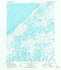
1955 · Wainwright B-3
USGS Topo · 1:63,360
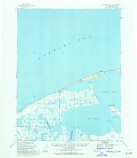
1955 · Wainwright D-1
USGS Topo · 1:63,360
1955 · Wainwright C-3
USGS Topo · 1:63,360
1962 · Wainwright D-2
USGS Topo · 1:50,000