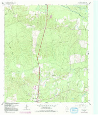
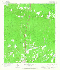
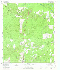
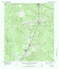
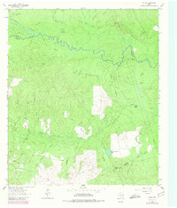
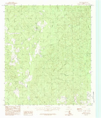
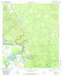
1963 Map of Wakefield
USGS Topo · Published 1992About this map
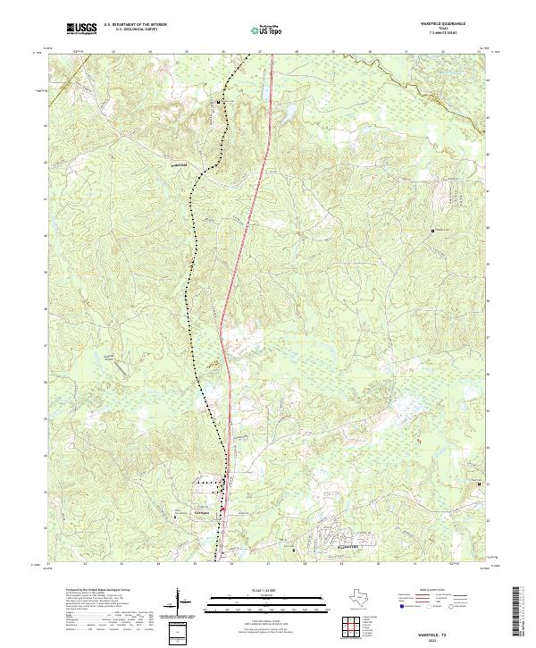
The Neches River forms a winding northern boundary for this East Texas landscape, where the confluence of several major creek systems defines the terrain. Extensive woodlands are interspersed with rural communities like Wakefield and Skinner Town, connected by a network of early roads and an Old Railroad Grade that speaks to the region's timber history. Several local landmarks are documented, including the Wakefield Lookout Tower and Wakefield Ch, alongside smaller gathering places such as Wheeler Ch and Damascus Ch.
Find a feature on this map
31 named features on this map. Tap any name to fly to it.
Don’t see what you’re looking for? This feature index may not catch every label — zoom into the map to look around manually.
Map Details
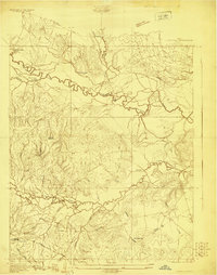
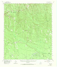
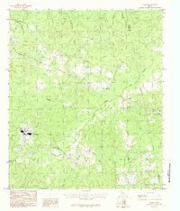
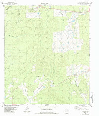
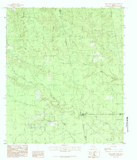
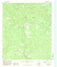
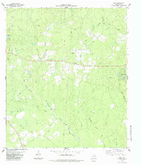
Editions of this 1963 Wakefield Map
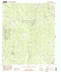
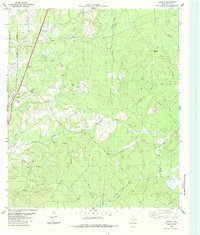
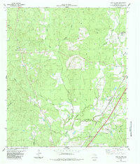
Historical Maps of Corrigan Through Time
31 maps found
1927 Lufkin 4-c
Polk County, TX
1955 New Willard
Polk County, TX
1958 Segno
Polk County, TX
1960 Blanchard
Polk County, TX
1960 Colita
Polk County, TX
1963 Pluck
Polk County, TX
1963 Wakefield
Polk County, TX
1984 Camden
Polk County, TX
1984 Carmona
Polk County, TX
1984 Dallardsville
Polk County, TX
1984 Hortense
Polk County, TX
1984 Jacks Creek South
Polk County, TX
1984 Leggett
Polk County, TX
1984 New Willard
Polk County, TX
1984 Schwab City
Polk County, TX
1984 Segno
Polk County, TX
1984 Soda
Polk County, TX
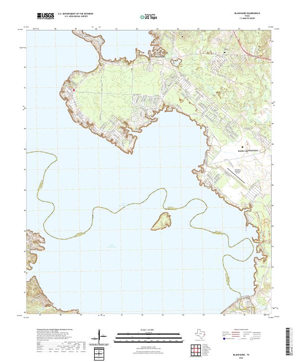
2022 Blanchard
Polk County, TX
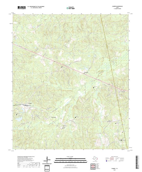
2022 Camden
Polk County, TX
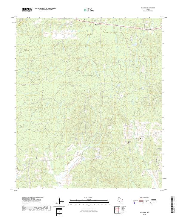
2022 Carmona
Polk County, TX
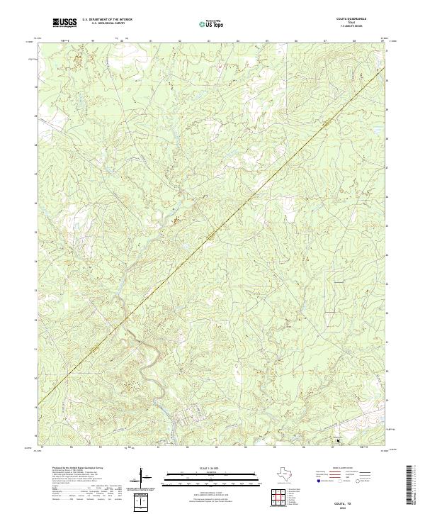
2022 Colita
Polk County, TX
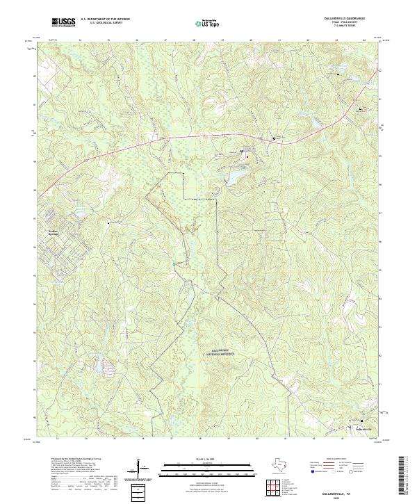
2022 Dallardsville
Polk County, TX
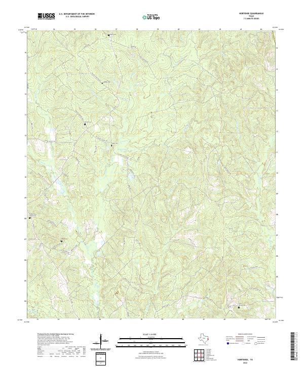
2022 Hortense
Polk County, TX
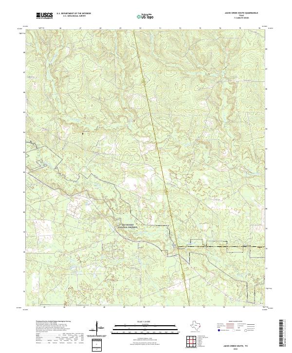
2022 Jacks Creek South
Polk County, TX
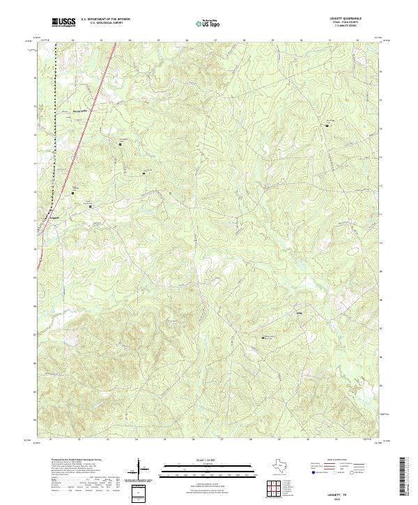
2022 Leggett
Polk County, TX
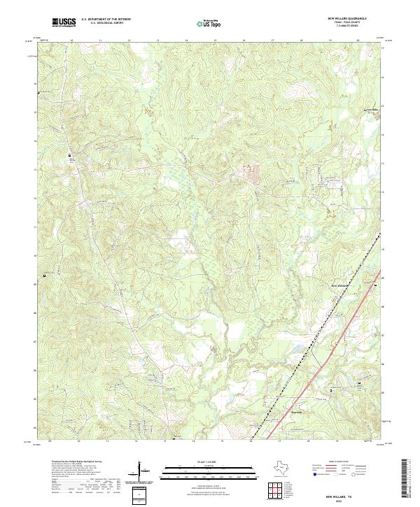
2022 New Willard
Polk County, TX
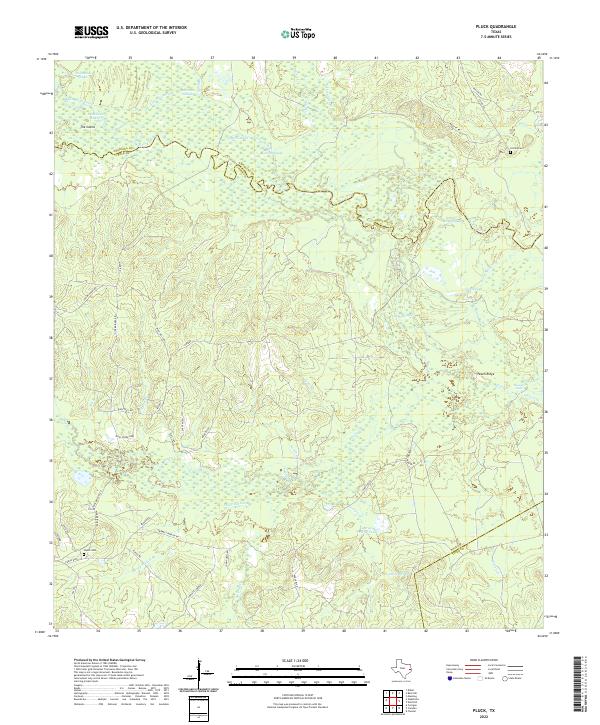
2022 Pluck
Polk County, TX
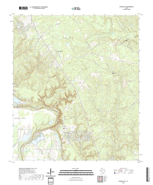
2022 Schwab City
Polk County, TX
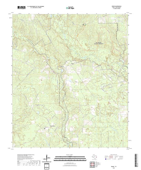
2022 Segno
Polk County, TX
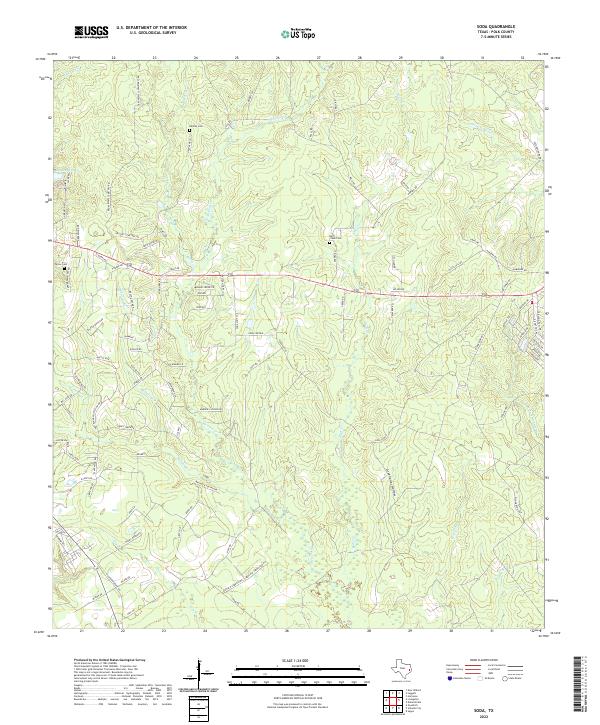
2022 Soda
Polk County, TX
2022 Wakefield
Polk County, TX