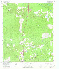
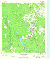
1963 Map of Wakefield
USGS Topo · Published 1980About this map
Southern Pacific rail lines and timber-laden creek bottoms define the landscape of northern Polk County during the early 1960s. The settlement of Wakefield serves as a central point, supported by local community anchors like Wheeler Ch and Wakefield Ch. To the south, the expansion of Corrigan is evident, while smaller clusters like Skinner Town and Pleasant Hill dot the piney woods. This era of land use is visible in the network of service roads and an Old Railroad Grade winding through the eastern portion of the map.
Find a feature on this map
28 named features on this map. Tap any name to fly to it.
Don’t see what you’re looking for? This feature index may not catch every label — zoom into the map to look around manually.
Map Details
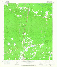
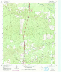
Editions of this 1963 Wakefield Map
Other maps of this area

1927 · Lufkin 4-c
USGS Topo · 1:24,000

1932 · Manning
USGS Topo · 1:62,500

1953 · Palestine
USGS Topo · 1:250,000

1954 · Beaumont
USGS Topo · 1:250,000

1955 · Camden
USGS Topo · 1:62,500

1955 · New Willard
USGS Topo · 1:62,500

1957 · Beaumont
USGS Topo · 1:250,000

1957 · Palestine
USGS Topo · 1:250,000
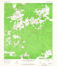
1963 · Apple Springs
USGS Topo · 1:24,000
1963 · Diboll
USGS Topo · 1:24,000