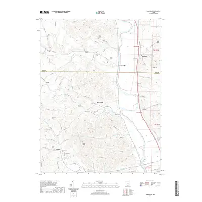
2019 Map of Wakefield
USGS Topo · Published 2019About this map
The Scioto River valley serves as a primary corridor through this portion of Ohio, where the settlements of Wakefield and Coopersville are positioned along the river's western banks. The terrain is characterized by a dense network of ridges and hollows, such as McChesney Ridge and Wildcat Hollow, which historically influenced the placement of mountain roads and family homesteads. This 2019 survey documents a landscape dotted with numerous numbered cemeteries, including Mount Zion Number 3 Cem and Howard Number 2 Cem, providing valuable data for genealogists tracing ancestral lines in the rural townships. Further west, the map identifies small locales like Sedan and Crabtree, the latter situated near the Hidden Quarry Airport. The boundary between Pike Co and Scioto Co bisects the area, illustrating how political lines cut across the winding courses of Rocky Fork and Bear Cr.
Find a feature on this map
86 named features on this map. Tap any name to fly to it.
Don’t see what you’re looking for? This feature index may not catch every label — zoom into the map to look around manually.
Map Details
Editions of this 2019 Wakefield Map
This is the sole edition of this map. No revisions or reprints were ever made.
Other maps of this area

1906 · Waverly
USGS Topo · 1:62,500

1908 · Waverly
USGS Topo · 1:62,500

1911 · Sciotoville
USGS Topo · 1:62,500

1913 · Sciotoville
USGS Topo · 1:62,500

1915 · Otway
USGS Topo · 1:62,500

1915 · Piketon
USGS Topo · 1:62,500

1917 · Piketon
USGS Topo · 1:62,500

1917 · Otway
USGS Topo · 1:62,500

1944 · Piketon
USGS Topo · 1:62,500

1947 · Columbus
USGS Topo · 1:250,000