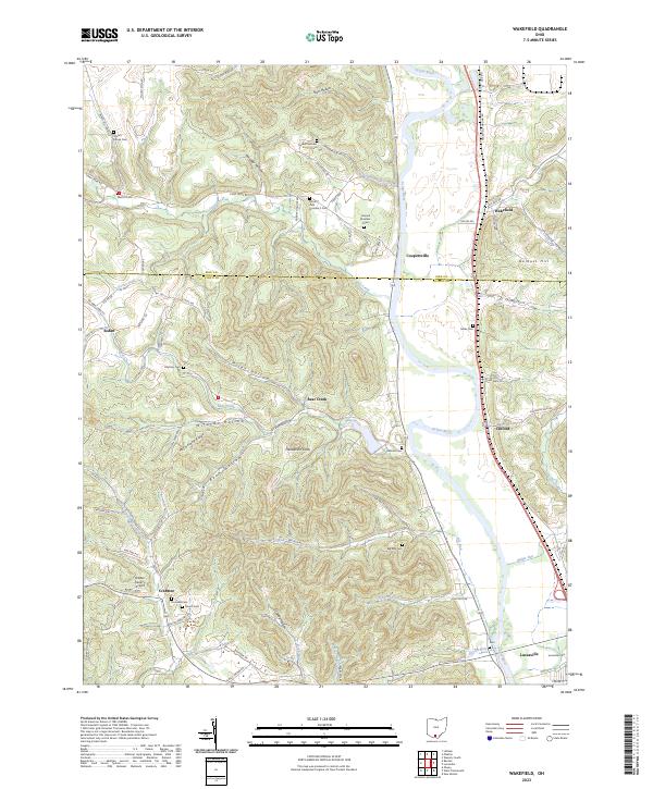
2023 Map of Wakefield
USGS Topo · Published 2023About this map
The Scioto River valley dominates this landscape, carving a wide path through the dissected hills of southern Ohio. Along its western banks and the surrounding ridges, the map reveals a high density of family-named landmarks and small burial grounds, including Russell Number 2 Cem, Howard Number 2 Cem, and Mount Zion Number 3 Cem. These features, alongside Rhymby Cem and Lauman Cem, provide a detailed look at the rural interment patterns and local genealogy of the region.
Find a feature on this map
85 named features on this map. Tap any name to fly to it.
Don’t see what you’re looking for? This feature index may not catch every label — zoom into the map to look around manually.
Map Details
Editions of this 2023 Wakefield Map
This is the sole edition of this map. No revisions or reprints were ever made.
Other maps of this area

1906 · Waverly
USGS Topo · 1:62,500

1908 · Waverly
USGS Topo · 1:62,500

1911 · Sciotoville
USGS Topo · 1:62,500

1913 · Sciotoville
USGS Topo · 1:62,500

1915 · Otway
USGS Topo · 1:62,500

1915 · Piketon
USGS Topo · 1:62,500

1917 · Piketon
USGS Topo · 1:62,500

1917 · Otway
USGS Topo · 1:62,500

1944 · Piketon
USGS Topo · 1:62,500

1947 · Columbus
USGS Topo · 1:250,000