2022 Map of Wakita NE
USGS Topo · Published 2022About this map
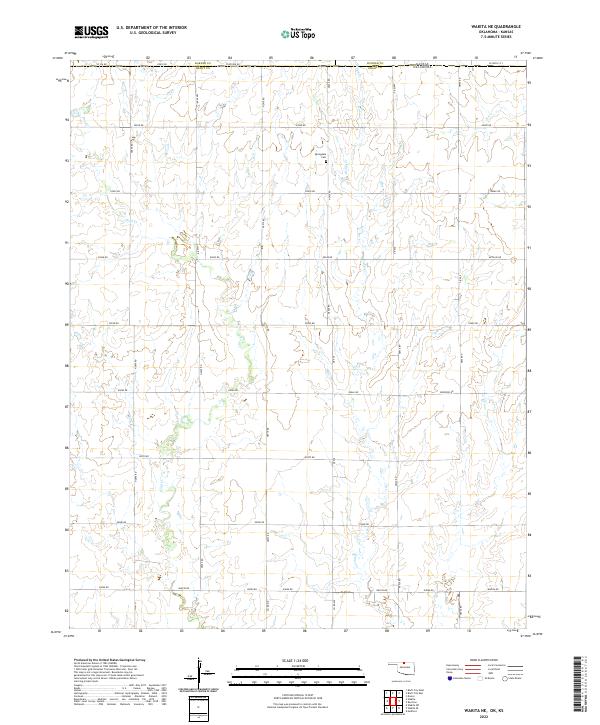
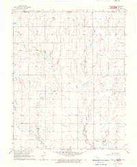
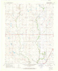
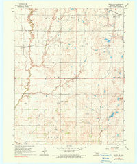
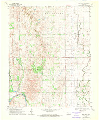
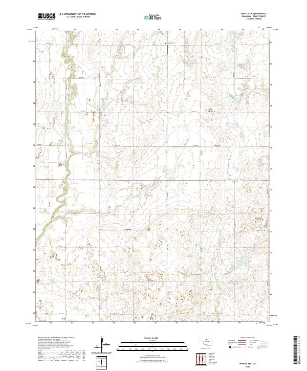
Springdale Cem stands as a focal point for family historians in this rural corner of the Oklahoma-Kansas border, situated in the eastern reaches of Grant County. The landscape is defined by the gentle drainage of Pond Cr and Osage Cr, which flow through a strictly partitioned grid of section lines and gravel routes. This 2022 survey illustrates the enduring agricultural character of the region, where the township boundaries of t29n r6w and t28n r5w meet. The road network, including named thoroughfares like Wakita Rd and Renfrow Rd, traces the exact paths established by early settlers, providing a clear map of the land divisions that have structured life in this high-plains environment for over a century.
Find a feature on this map
39 named features on this map. Tap any name to fly to it.
Don’t see what you’re looking for? This feature index may not catch every label — zoom into the map to look around manually.
Map Details
Editions of this 2022 Wakita NE Map
This is the sole edition of this map. No revisions or reprints were ever made.
Historical Maps of Harper County Through Time
14 maps found
1968 Lamont NW
Grant County, OK
1968 Medford NE
Grant County, OK
1968 Pond Creek NW
Grant County, OK
1968 Wakita NE
Grant County, OK
1968 Wakita SE
Grant County, OK
1968 Wakita SW
Grant County, OK
1969 Sand Creek
Grant County, OK
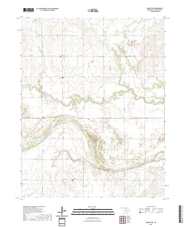
2022 Lamont NW
Grant County, OK
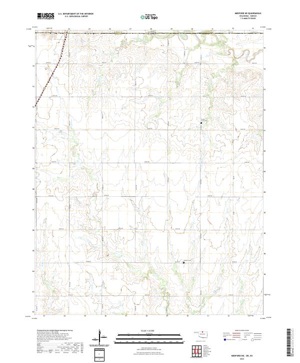
2022 Medford NE
Grant County, OK
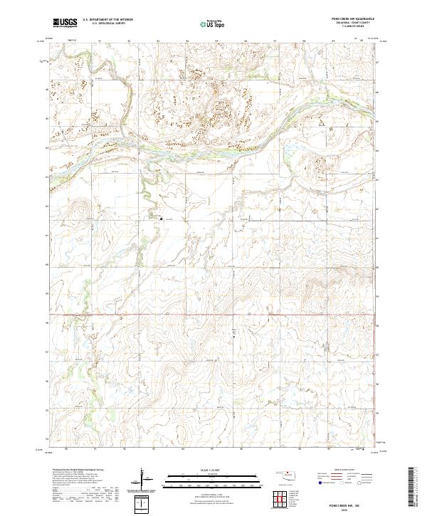
2022 Pond Creek NW
Grant County, OK
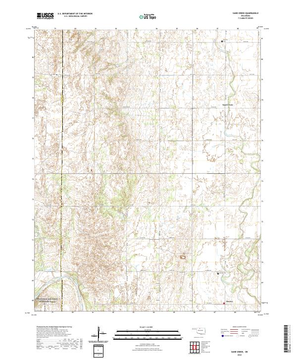
2022 Sand Creek
Grant County, OK
2022 Wakita NE
Grant County, OK
2022 Wakita SE
Grant County, OK
2022 Wakita SW
Grant County, OK