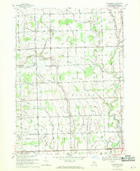
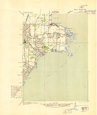
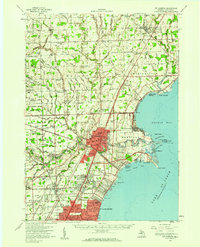
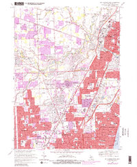
1968 Map of Waldenburg
USGS Topo · Published 1970This historical map portrays the area of Waldenburg in 1968, primarily covering Macomb County. Featuring a scale of 1:24000, this map provides a highly detailed snapshot of the terrain, roads, buildings, counties, and historical landmarks in the Waldenburg region at the time. Published in 1970, it is one of 3 known editions of this map due to revisions or reprints.
Find a feature on this map
88 named features on this map. Tap any name to fly to it.
Don’t see what you’re looking for? This feature index may not catch every label — zoom into the map to look around manually.
Map Details
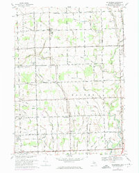
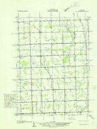
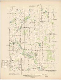
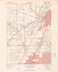
Editions of this 1968 Waldenburg Map
3 editions found
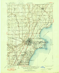
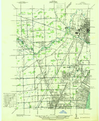
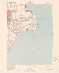
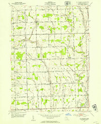
Historical Maps of Waldenburg Through Time
13 maps found

1912 Mt Clemens
Macomb County, MI
1929 Mt Clemens
Macomb County, MI
1936 Mt Clemens
Macomb County, MI
1936 Selfridge Field
Macomb County, MI
1936 Waldenburg
Macomb County, MI
1936 Washington
Macomb County, MI
1952 Mt Clemens East
Macomb County, MI
1952 Mt Clemens
Macomb County, MI
1952 Mt Clemens West
Macomb County, MI
1952 Waldenburg
Macomb County, MI
1968 Mt Clemens East
Macomb County, MI
1968 Mt Clemens West
Macomb County, MI
1968 Waldenburg
Macomb County, MI
Featured Locations
- Macomb Township, MI
- Shelby Charter Township, MI
- Sterling Heights, MI
- Clinton Township, MI
- Washington Charter Township, MI