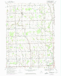
1968 Map of Waldenburg
USGS Topo · Published 1974About this map
Waldenburg and the surrounding townships in Macomb County are captured here during a period of agricultural transition and early suburbanization. The landscape is defined by the North Branch Clinton River and the Middle Branch Clinton River, which are fed by an extensive network of named drainage systems like the Shoemaker Drain and Heidi Drain. This intricate web of water management reflects the region's history of reclaiming land for farming.
Find a feature on this map
95 named features on this map. Tap any name to fly to it.
Don’t see what you’re looking for? This feature index may not catch every label — zoom into the map to look around manually.
Map Details
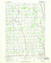
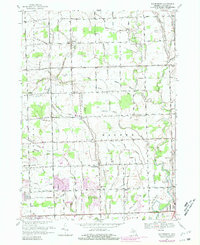
Editions of this 1968 Waldenburg Map
3 editions found
Other maps of this area

1908 · Rochester
USGS Topo · 1:62,500

1912 · Mt Clemens
USGS Topo · 1:62,500

1914 · Armada
USGS Topo · 1:62,500

1928 · Armada
USGS Topo · 1:62,500

1929 · Mt Clemens
USGS Topo · 1:62,500

1936 · Warren
USGS Topo · 1:31,680

1936 · New Haven
USGS Topo · 1:31,680

1936 · Washington
USGS Topo · 1:31,680

1936 · Waldenburg
USGS Topo · 1:31,680

1936 · Selfridge Field
USGS Topo · 1:31,680
Featured Places
- Sterling Heights, MI
- Clinton Township, MI
- Macomb Township, MI
- Shelby Charter Township, MI
- Washington Charter Township, MI