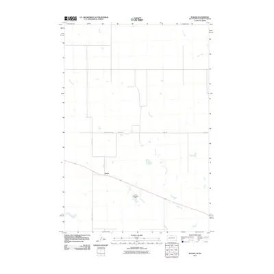
2011 Map of Walker
USGS Topo · Published 2011About this map
Walker sits at the heart of this prairie landscape, where the border between the Dakotas is defined by the survey grid rather than the winding paths of Rock Creek or Oak Creek. The terrain is marked by the infrastructure of the Standing Rock Reservation, notably Bureau Indian Affairs 16 and roads that suggest historical transit routes, such as Old Yellowstone Rd. While the area is dominated by open space and small drainage patterns, the Henry Holwenger Dam serves as a significant landmark for water management in this arid reach of Sioux County. This survey reflects the modern intersection of tribal lands and local transit, preserving the specific placement of farm-to-market roads like Tounding Rd and County Rd as they connect the small settlement of Walker to the surrounding range.
Find a feature on this map
9 named features on this map. Tap any name to fly to it.
Don’t see what you’re looking for? This feature index may not catch every label — zoom into the map to look around manually.
Map Details
Editions of this 2011 Walker Map
This is the sole edition of this map. No revisions or reprints were ever made.
Other maps of this area

1953 · McIntosh
USGS Topo · 1:250,000

1954 · Bismarck
USGS Topo · 1:250,000

1956 · Bullhead
USGS Topo · 1:24,000

1956 · Bullhead SW
USGS Topo · 1:24,000

1958 · Bismarck
USGS Topo · 1:250,000

1958 · McIntosh
USGS Topo · 1:250,000

1971 · Shields SW
USGS Topo · 1:24,000

1971 · Selfridge
USGS Topo · 1:24,000

1971 · Pamplin Hills
USGS Topo · 1:24,000

1971 · McLaughlin SW
USGS Topo · 1:24,000
Featured Places
- Porcupine District, ND
- Rock Creek District, SD
- Walker, Rock Creek District
- Sioux County, ND
- Corson County, SD