
2015 Map of Walker
USGS Topo · Published 2015About this map
Walker and the surrounding Livingston Parish landscape are defined by a complex network of bayous and creeks that drain the low-lying terrain. Historically significant for its connection to the timber and rail industries, the area around Corbin and Livingston shows a residential expansion that follows the primary corridors of Florida Blvd and the interstate. The map captures the spiritual and genealogical heart of these communities through numerous rural burial grounds, including the Walker Baptist Cem and Saint Mark Baptist Cem.
Find a feature on this map
99 named features on this map. Tap any name to fly to it.
Don’t see what you’re looking for? This feature index may not catch every label — zoom into the map to look around manually.
Map Details
Editions of this 2015 Walker Map
This is the sole edition of this map. No revisions or reprints were ever made.
Other maps of this area

1934 · Denham Springs
USGS Topo · 1:62,500

1934 · Springfield
USGS Topo · 1:62,500

1939 · Springfield
USGS Topo · 1:62,500

1939 · Denham Springs
USGS Topo · 1:62,500

1942 · Watson
USGS Topo · 1:31,680

1942 · Satsuma
USGS Topo · 1:31,680

1950 · Doyle
USGS Topo · 1:31,680

1953 · Walker
USGS Topo · 1:24,000
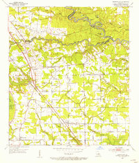
1953 · Prairieville
USGS Topo · 1:24,000
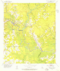
1953 · French Settlement
USGS Topo · 1:24,000