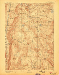
1893 Map of Wallingford
USGS Topo · Published 1898About this map
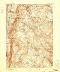
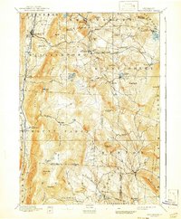
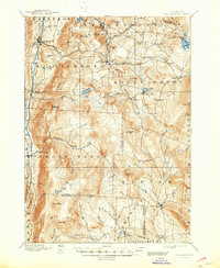
The Green Mountains of Rutland and Windsor counties are defined by a high-elevation railway network and industrial hamlets in this late nineteenth-century survey. The Rutland Railway and the Central Vermont corridor dominate the northern and eastern sections, providing vital connections for timber and marble between settlements like Cuttingsville and Healdville. High in the peaks, the landscape is dotted with remote water bodies such as Wallingford Pond and Little Pond, which feed the drainages of Otter Creek and the Mill River.
Find a feature on this map
69 named features on this map. Tap any name to fly to it.
Don’t see what you’re looking for? This feature index may not catch every label — zoom into the map to look around manually.
Map Details
Editions of this 1893 Wallingford Map
8 editions found
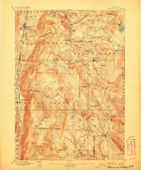
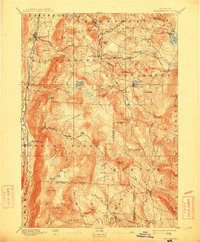
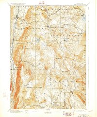
Other maps of this area

1891 · Rutland
USGS Topo · 1:62,500

1893 · Wallingford
USGS Topo · 1:62,500

1893 · Rutland
USGS Topo · 1:62,500

1894 · Londonderry
USGS Topo · 1:62,500

1894 · Pawlet
USGS Topo · 1:62,500

1894 · Equinox
USGS Topo · 1:62,500

1895 · Castleton
USGS Topo · 1:62,500

1896 · Equinox
USGS Topo · 1:62,500

1897 · Pawlet
USGS Topo · 1:62,500

1897 · Castleton
USGS Topo · 1:62,500