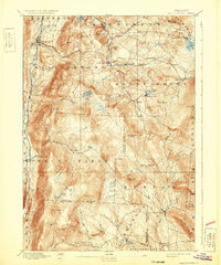
1893 Map of Wallingford
USGS Topo · Published 1932About this map
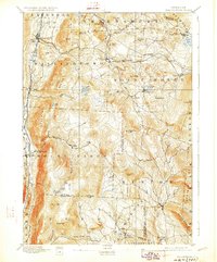
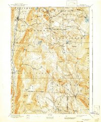
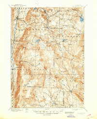
Otter Creek flows along the western valley, defining the primary corridor for settlement and transit through the Green Mountains in the late nineteenth century. The village of Wallingford serves as a focal point in this valley, while the Central Vermont railroad winds through the heights toward the east, connecting hamlets like Cuttingsville, Summit, and Healdville. This topography demonstrates the heavy reliance on mountain passes for commerce, with small industrial clusters like Mechanicsville and Tarbellville situated near Jackson Pond to harness local water power.
Find a feature on this map
72 named features on this map. Tap any name to fly to it.
Don’t see what you’re looking for? This feature index may not catch every label — zoom into the map to look around manually.
Map Details
Editions of this 1893 Wallingford Map
8 editions found
Other maps of this area

1891 · Rutland
USGS Topo · 1:62,500

1893 · Wallingford
USGS Topo · 1:62,500

1893 · Rutland
USGS Topo · 1:62,500

1894 · Londonderry
USGS Topo · 1:62,500

1894 · Pawlet
USGS Topo · 1:62,500

1894 · Equinox
USGS Topo · 1:62,500

1895 · Castleton
USGS Topo · 1:62,500

1896 · Equinox
USGS Topo · 1:62,500

1897 · Pawlet
USGS Topo · 1:62,500

1897 · Castleton
USGS Topo · 1:62,500