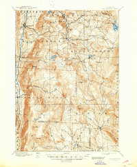
1893 Map of Wallingford
USGS Topo · Published 1947About this map
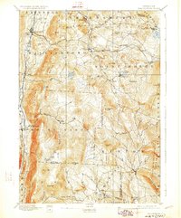
The Central Vermont railroad carves a critical path through this late 19th-century landscape, connecting mountain settlements like Cuttingsville, Mount Holly, and Healdville. In the west, the village of Wallingford sits at the edge of the Green Mt range, where the terrain rises sharply from Otter Creek toward high peaks like Bear Mt and White Rock. This 1890s survey captures a network of small, elevated communities including Tarbellville and Bowlsville, many of which were centers of local industry near the Mill River.
Find a feature on this map
70 named features on this map. Tap any name to fly to it.
Don’t see what you’re looking for? This feature index may not catch every label — zoom into the map to look around manually.
Map Details
Editions of this 1893 Wallingford Map
8 editions found
Other maps of this area

1891 · Rutland
USGS Topo · 1:62,500

1893 · Wallingford
USGS Topo · 1:62,500

1893 · Rutland
USGS Topo · 1:62,500

1894 · Londonderry
USGS Topo · 1:62,500

1894 · Pawlet
USGS Topo · 1:62,500

1894 · Equinox
USGS Topo · 1:62,500

1895 · Castleton
USGS Topo · 1:62,500

1896 · Equinox
USGS Topo · 1:62,500

1897 · Pawlet
USGS Topo · 1:62,500

1897 · Castleton
USGS Topo · 1:62,500