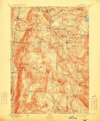
1893 Map of Wallingford
USGS Topo · Published 1915About this map
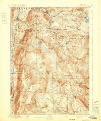
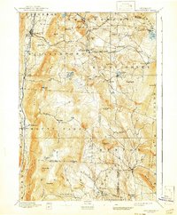
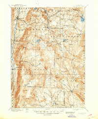
Central Vermont rail lines snake through the narrow mountain passes of this late 19th-century landscape, connecting a series of high-altitude settlements. Small mill towns and agricultural hamlets like Cuttingsville, East Wallingford, and Mechanicsville are established near the headwaters of the Mill River and West River. The topography of the Green Mt range is marked by distinctive peaks such as Styles Peak, Bear Mt, and White Rock, where the steep elevation necessitated the winding rail routes through Summit and Healdville. This survey captures the region just before the shift away from small-scale mountain industry, documenting a network of upland farms and timber-adjacent communities like Griffith and Tarbellville that were vital to the local economy. For genealogists, the map provides precise locations for nineteenth-century homesteads and school districts scattered between Wallingford and Weston.
Find a feature on this map
67 named features on this map. Tap any name to fly to it.
Don’t see what you’re looking for? This feature index may not catch every label — zoom into the map to look around manually.
Map Details
Editions of this 1893 Wallingford Map
8 editions found
Other maps of this area

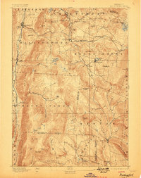
1891 · Rutland
USGS Topo · 1:62,500

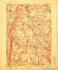
1893 · Wallingford
USGS Topo · 1:62,500

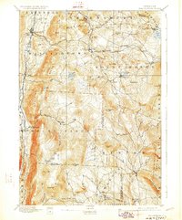
1893 · Rutland
USGS Topo · 1:62,500

1894 · Londonderry
USGS Topo · 1:62,500

1894 · Pawlet
USGS Topo · 1:62,500

1894 · Equinox
USGS Topo · 1:62,500

1895 · Castleton
USGS Topo · 1:62,500

1896 · Equinox
USGS Topo · 1:62,500

1897 · Pawlet
USGS Topo · 1:62,500

1897 · Castleton
USGS Topo · 1:62,500