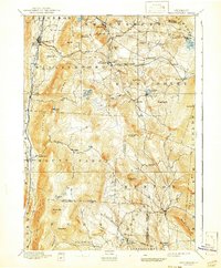
1893 Map of Wallingford
USGS Topo · Published 1941About this map
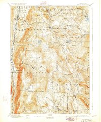
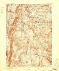
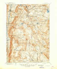
Otter Creek defines the western valley of this late 19th-century landscape, where the Rutland and Bennington railroad corridor connects the settlements of Wallingford and South Wallingford. This survey, conducted by G.E. Hyde and H.L. Smyth, captures the Green Mountain region during a period of established rail commerce. The Central Vermont line traverses the northern highlands, serving mountain hamlets like Cuttingsville, Mount Holly, and the high point at Summit. The terrain is marked by numerous family-named peaks and industrial landmarks, such as Copperas Hill and Granite Hill. Small milling or manufacturing clusters are evident at Tarbellville and Mechanicsville, situated near Jackson Pond. The southern reaches of the map show the headwaters of the West River near Weston, illustrating the rugged drainage patterns that dictated early Vermont settlement and transport routes between Rutland, Windsor, and Bennington counties.
Find a feature on this map
72 named features on this map. Tap any name to fly to it.
Don’t see what you’re looking for? This feature index may not catch every label — zoom into the map to look around manually.
Map Details
Editions of this 1893 Wallingford Map
8 editions found
Other maps of this area

1891 · Rutland
USGS Topo · 1:62,500

1893 · Wallingford
USGS Topo · 1:62,500

1893 · Rutland
USGS Topo · 1:62,500

1894 · Londonderry
USGS Topo · 1:62,500

1894 · Pawlet
USGS Topo · 1:62,500

1894 · Equinox
USGS Topo · 1:62,500

1895 · Castleton
USGS Topo · 1:62,500

1896 · Equinox
USGS Topo · 1:62,500

1897 · Pawlet
USGS Topo · 1:62,500

1897 · Castleton
USGS Topo · 1:62,500