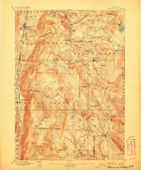
1893 Map of Wallingford
USGS Topo · Published 1906About this map
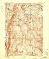
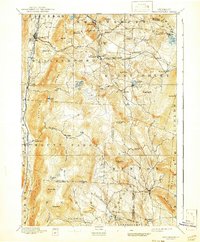
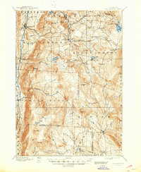
Wallingford and its neighboring villages in the Green Mt range are captured here during a period of transition for Vermont’s rural rail and river industry. The topography is dominated by peaks like Mount Tabor and Styles Peak, while the valley floors are defined by the paths of Otter Creek and the West River. Settled pockets such as Mechanicsville, Tarbellville, and Healdville are shown at their Victorian-era peak, connected by a network of early roads and the critical tracks of the Rutland Railway and the Central Vermont. Local-history researchers will find interest in the precise placement of mountain ponds like Wallingford Pond and Patch Pond, which served the local economy before many of these high-altitude areas were reorganized under modern forestry management. The map also delineates clear township and county boundaries, including the line between Rutland Co and Windsor Co.
Find a feature on this map
71 named features on this map. Tap any name to fly to it.
Don’t see what you’re looking for? This feature index may not catch every label — zoom into the map to look around manually.
Map Details
Editions of this 1893 Wallingford Map
8 editions found
Other maps of this area

1891 · Rutland
USGS Topo · 1:62,500

1893 · Wallingford
USGS Topo · 1:62,500

1893 · Rutland
USGS Topo · 1:62,500

1894 · Londonderry
USGS Topo · 1:62,500

1894 · Pawlet
USGS Topo · 1:62,500

1894 · Equinox
USGS Topo · 1:62,500

1895 · Castleton
USGS Topo · 1:62,500

1896 · Equinox
USGS Topo · 1:62,500

1897 · Pawlet
USGS Topo · 1:62,500

1897 · Castleton
USGS Topo · 1:62,500