
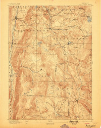
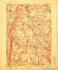
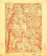
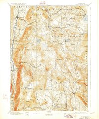
1893 Map of Wallingford
USGS Topo · Published 1893About this map
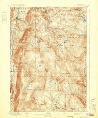
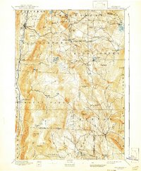
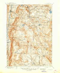
Otter Creek carves a critical corridor through the western edge of this Vermont landscape, providing the route for the Rutland and Bennington Railway to connect settlements like South Wallingford and Wallingford. To the east, the Central Vermont line negotiates the high ground near Summit, linking mountain villages such as Cuttingsville, Healdville, and East Wallingford.
Find a feature on this map
67 named features on this map. Tap any name to fly to it.
Don’t see what you’re looking for? This feature index may not catch every label — zoom into the map to look around manually.
Map Details
Editions of this 1893 Wallingford Map
8 editions found
Other maps of this area

1891 · Rutland
USGS Topo · 1:62,500

1893 · Rutland
USGS Topo · 1:62,500

1894 · Londonderry
USGS Topo · 1:62,500

1894 · Pawlet
USGS Topo · 1:62,500

1894 · Equinox
USGS Topo · 1:62,500

1895 · Castleton
USGS Topo · 1:62,500

1896 · Equinox
USGS Topo · 1:62,500

1897 · Pawlet
USGS Topo · 1:62,500

1897 · Castleton
USGS Topo · 1:62,500

1899 · Londonderry
USGS Topo · 1:62,500