
2010 Map of Walnut Run
USGS Topo · Published 2010About this map
The settlement of Newport sits at a central crossroads in this agricultural landscape of Madison County, where drainage ditches and creeks create a complex hydrologic network. The northeastern corner of the map features Madison Lake, held by the Madison Lake Dam, which serves as a primary recreational and geographical focal point. This 2010 survey is particularly notable for its high concentration of family and township burial grounds, including the Old Johnston Cemetery, Kirkwood Cemetery, and the Johnston-McClimans Cemetery. These sites, along with landmarks like Roberts Airport and the Hickory Grove Golf Course, reflect the modern rural character of the region. The map also traces historical transit and infrastructure, from the Ohio-Erie TRL in the north to the meandering paths of Walnut Run and Bradford Creek that define the local topography.
Find a feature on this map
53 named features on this map. Tap any name to fly to it.
Don’t see what you’re looking for? This feature index may not catch every label — zoom into the map to look around manually.
Map Details
Editions of this 2010 Walnut Run Map
This is the sole edition of this map. No revisions or reprints were ever made.
Other maps of this area

1906 · Mt Sterling
USGS Topo · 1:62,500

1907 · London
USGS Topo · 1:62,500

1907 · South Charleston
USGS Topo · 1:62,500

1916 · Octa
USGS Topo · 1:62,500

1944 · Octa
USGS Topo · 1:62,500

1947 · Columbus
USGS Topo · 1:250,000

1961 · Columbus
USGS Topo · 1:250,000
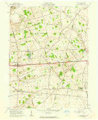
1961 · Vienna
USGS Topo · 1:24,000
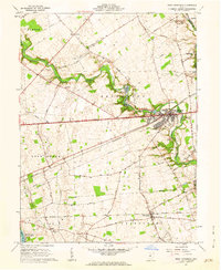
1961 · West Jefferson
USGS Topo · 1:24,000

1961 · London
USGS Topo · 1:24,000