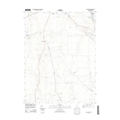
2013 Map of Walnut Run
USGS Topo · Published 2013About this map
The settlement of Newport and the southern edge of London anchor this Madison County landscape, where the agricultural heritage is preserved through numerous family-named farms and cemeteries. This 2013 survey shows an intricate network of drainage systems essential to the region's productive farmland, including William Cathcart Ditch, Filmore Jackson Ditch, and Dunkin Ditch. These waterways feed into larger runs like Walnut Run and Oak Run, which carve gentle paths across the terrain. For genealogists, the map is particularly detailed regarding burial sites, documenting small plots such as Johnston McClimans Cem, Sifrit Cem, and Kilgore Cem. In the northeast corner, Madison Lake provides a distinct geographical contrast to the surrounding farmsteads like Burr Farms and Century Two Farms.
Find a feature on this map
47 named features on this map. Tap any name to fly to it.
Don’t see what you’re looking for? This feature index may not catch every label — zoom into the map to look around manually.
Map Details
Editions of this 2013 Walnut Run Map
This is the sole edition of this map. No revisions or reprints were ever made.
Other maps of this area

1906 · Mt Sterling
USGS Topo · 1:62,500

1907 · London
USGS Topo · 1:62,500

1907 · South Charleston
USGS Topo · 1:62,500

1916 · Octa
USGS Topo · 1:62,500

1944 · Octa
USGS Topo · 1:62,500

1947 · Columbus
USGS Topo · 1:250,000

1961 · Columbus
USGS Topo · 1:250,000
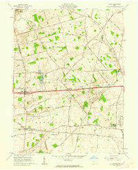
1961 · Vienna
USGS Topo · 1:24,000
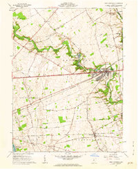
1961 · West Jefferson
USGS Topo · 1:24,000
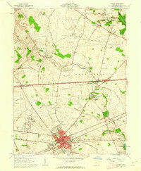
1961 · London
USGS Topo · 1:24,000