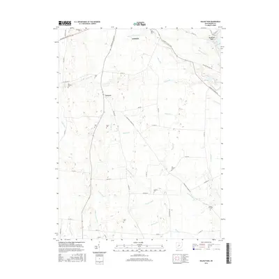
2016 Map of Walnut Run
USGS Topo · Published 2016About this map
Madison Lake anchors the northeastern corner of this landscape, where the waters of Oak Run and Chrisman Ditch converge. This Madison County territory south of London is defined by an extensive network of drainage systems, including Filmore Jackson Ditch, Black Ditch, and Phifer Ditch, which support the agricultural productivity of the region. The settlement of Newport serves as a central point along the Washington-London Rd 38.
Find a feature on this map
63 named features on this map. Tap any name to fly to it.
Don’t see what you’re looking for? This feature index may not catch every label — zoom into the map to look around manually.
Map Details
Editions of this 2016 Walnut Run Map
This is the sole edition of this map. No revisions or reprints were ever made.
Other maps of this area

1906 · Mt Sterling
USGS Topo · 1:62,500

1907 · London
USGS Topo · 1:62,500

1907 · South Charleston
USGS Topo · 1:62,500

1916 · Octa
USGS Topo · 1:62,500

1944 · Octa
USGS Topo · 1:62,500

1947 · Columbus
USGS Topo · 1:250,000

1961 · Columbus
USGS Topo · 1:250,000
1961 · Vienna
USGS Topo · 1:24,000
1961 · West Jefferson
USGS Topo · 1:24,000
1961 · London
USGS Topo · 1:24,000