Loading...
Loading map...2023 Map of Walnut Run
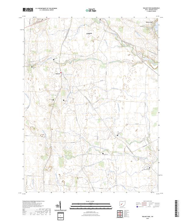
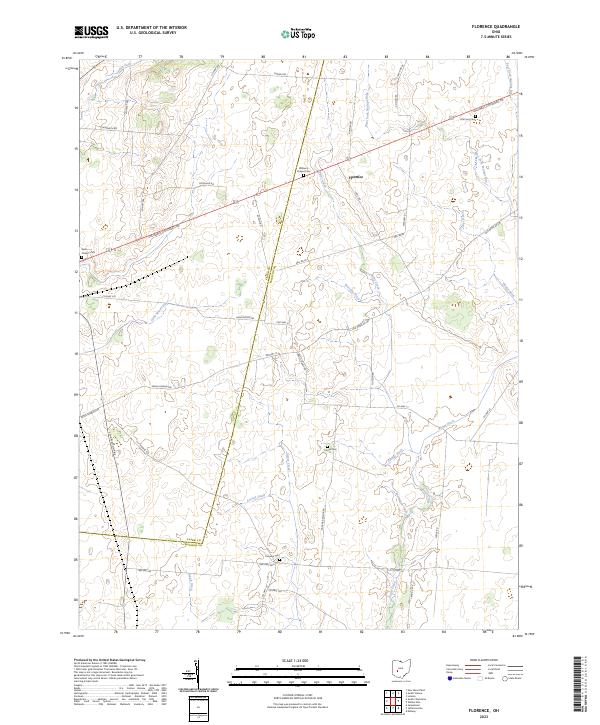
USGS Topo · Published 2023About this map
Madison Lake anchors the northeast corner of this Madison County landscape, where the agricultural plains of London give way to a dense network of water management features and family burial grounds. The terrain is defined by an intricate system of drainage channels such as Filmore Jackson Ditch, William Cathcart Ditch, and Dunkin Ditch, which support the productive farmland surrounding the settlement of Newport.
Find a feature on this map
58 named features on this map. Tap any name to fly to it.
Don’t see what you’re looking for? This feature index may not catch every label — zoom into the map to look around manually.
Map Details
Date Portrayed2023
Date Published2023
PublisherU.S. Geological Survey
Map TypeTopographic
Scale1:24000
Physical Dimensions24 x 29 inches
Editions of this 2023 Walnut Run Map
This is the sole edition of this map. No revisions or reprints were ever made.
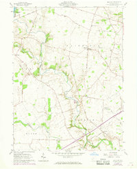
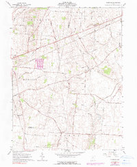
Historical Maps of Madison Lake Through Time
6 maps found

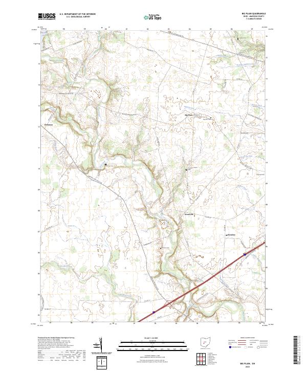
Featured Locations
Source Details
SourceU.S. Geological Survey
CopyrightPublic Domain