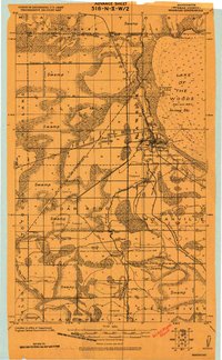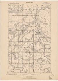
1967 Map of Warroad
USGS Topo · Published 1969About this map
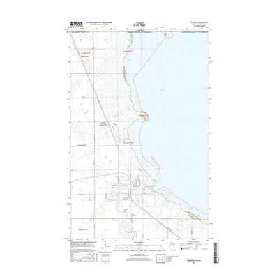
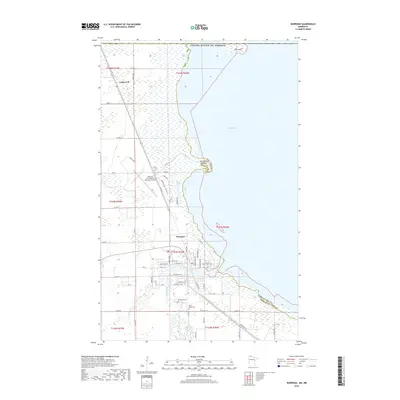
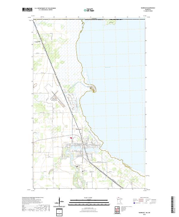
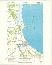
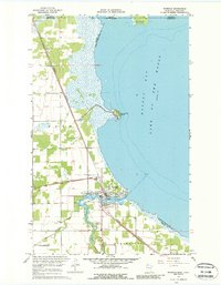
Warroad sits at the confluence of the Warroad River and the expansive Muskeg Bay of Lake of the Woods, serving as a critical international junction in the late 1960s. The town's significance as a border crossing is noted by the presence of the U S Customhouse near the international boundary where Manitoba and Minnesota meet. Local transportation and industry are defined by the convergence of the Canadian National and Great Northern railroads, with an Old RR Grade hinting at earlier rail alignments. Genealogists will find notable burial sites including Riverside Cem and St Marys Cem. Farther south, the rural character of Moranville and Cedarbend is balanced by the infrastructure of the Warroad Airfield and a Gaging Station on the river, showing a landscape managed for both trade and transit.
Find a feature on this map
28 named features on this map. Tap any name to fly to it.
Don’t see what you’re looking for? This feature index may not catch every label — zoom into the map to look around manually.
Map Details
Editions of this 1967 Warroad Map
3 editions found

Historical Maps of Warroad Through Time
8 maps found