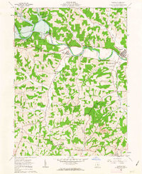
1962 Map of Warsaw
USGS Topo · Published 1963About this map
The Walhonding River carves a significant path through Coshocton County in this early 1960s survey, dominated by the massive Mohawk Dam and its complex spillway system. The landscape reflects a mix of small-town settlement and industrial utility, with Warsaw and Nellie serving as local hubs. Genealogists will find several rural landmarks of interest, including Wilson Chapel, Goshen Ch, and the West Bedford Cem.
Find a feature on this map
40 named features on this map. Tap any name to fly to it.
Don’t see what you’re looking for? This feature index may not catch every label — zoom into the map to look around manually.
Map Details
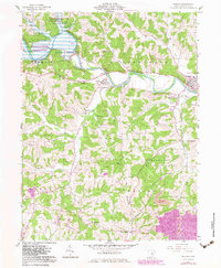
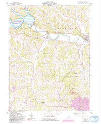
Editions of this 1962 Warsaw Map
3 editions found
Other maps of this area

1908 · Conesville
USGS Topo · 1:62,500

1910 · Frazeysburg
USGS Topo · 1:62,500

1910 · Conesville
USGS Topo · 1:62,500

1913 · Brinkhaven
USGS Topo · 1:62,500

1913 · Coshocton
USGS Topo · 1:62,500

1915 · Brinkhaven
USGS Topo · 1:62,500

1915 · Coshocton
USGS Topo · 1:62,500

1943 · Coshocton
USGS Topo · 1:62,500

1950 · Marion
USGS Topo · 1:250,000

1951 · Canton
USGS Topo · 1:250,000