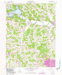
1962 Map of Warsaw
USGS Topo · Published 1983About this map
The Walhonding River winds through this portion of Coshocton County, its course significantly altered by the massive Mohawk Dam. This dry-reservoir flood control project, part of the Muskingum Watershed Conservancy District, dominates the northwestern landscape. The settlement patterns reflect a transition from 19th-century river-and-rail industry to modern conservation, with several communities like Nellie and Warsaw situated along the valley floor. To the south, the terrain rises toward Tunnel Hill, where the land is characterized by steeper ridges and small rural settlements like West Bedford. Local genealogy is well-preserved through numerous burial grounds, including Valley View Cem and West Bedford Cem. Evidence of past infrastructure is visible in the Old Railroad Grade that skirts the river, while the Woodbury Wildlife Area indicates a shift toward managed natural spaces in the later 20th century.
Find a feature on this map
34 named features on this map. Tap any name to fly to it.
Don’t see what you’re looking for? This feature index may not catch every label — zoom into the map to look around manually.
Map Details
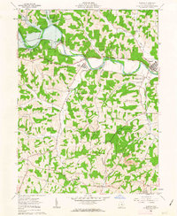
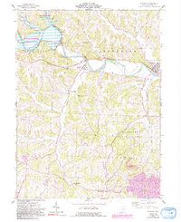
Editions of this 1962 Warsaw Map
3 editions found
Other maps of this area

1908 · Conesville
USGS Topo · 1:62,500

1910 · Frazeysburg
USGS Topo · 1:62,500

1910 · Conesville
USGS Topo · 1:62,500

1913 · Brinkhaven
USGS Topo · 1:62,500

1913 · Coshocton
USGS Topo · 1:62,500

1915 · Brinkhaven
USGS Topo · 1:62,500

1915 · Coshocton
USGS Topo · 1:62,500

1943 · Coshocton
USGS Topo · 1:62,500

1950 · Marion
USGS Topo · 1:250,000

1951 · Canton
USGS Topo · 1:250,000