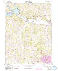
1962 Map of Warsaw
USGS Topo · Published 1992About this map
The Walhonding River carves a winding path through this portion of Coshocton County, anchored by the massive Mohawk Dam and the surrounding lands of the Muskingum Watershed Conservancy District. This 1960s landscape is characterized by its dual identity as a managed flood-control basin and a cluster of traditional rural settlements like Nellie, Warsaw, and Mohawk Village. The map reveals the intricate water network feeding the river, including Mohawk Creek and Honey Run.
Find a feature on this map
37 named features on this map. Tap any name to fly to it.
Don’t see what you’re looking for? This feature index may not catch every label — zoom into the map to look around manually.
Map Details
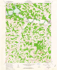
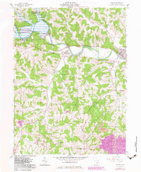
Editions of this 1962 Warsaw Map
3 editions found
Other maps of this area

1908 · Conesville
USGS Topo · 1:62,500

1910 · Frazeysburg
USGS Topo · 1:62,500

1910 · Conesville
USGS Topo · 1:62,500

1913 · Brinkhaven
USGS Topo · 1:62,500

1913 · Coshocton
USGS Topo · 1:62,500

1915 · Brinkhaven
USGS Topo · 1:62,500

1915 · Coshocton
USGS Topo · 1:62,500

1943 · Coshocton
USGS Topo · 1:62,500

1950 · Marion
USGS Topo · 1:250,000

1951 · Canton
USGS Topo · 1:250,000