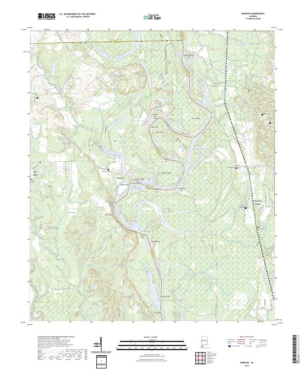
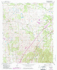
2024 Map of Warsaw
USGS Topo · Published 2024This historical map portrays the area of Warsaw in 2024, primarily covering Sumter County as well as portions of Greene County and Pickens County. Featuring a scale of 1:24000, this map provides a highly detailed snapshot of the terrain, roads, buildings, counties, and historical landmarks in the Warsaw region at the time. Published in 2024, it is the sole known edition of this map.
Map Details
Editions of this 2024 Warsaw Map
This is the sole edition of this map. No revisions or reprints were ever made.
Historical Maps of Greene County Through Time
15 maps found
1948 Mc Dowell
Sumter County, AL
1949 McDowell
Sumter County, AL
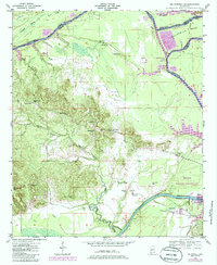
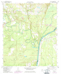
1970 Warsaw
Sumter County, AL
1971 Coatopa
Sumter County, AL
1974 Boyd
Sumter County, AL
1974 Brewersville
Sumter County, AL
1974 Epes West
Sumter County, AL
1974 Ward
Sumter County, AL
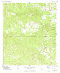
2024 Boyd
Sumter County, AL
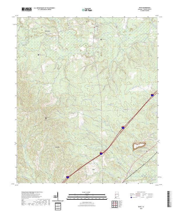
2024 Brewersville
Sumter County, AL
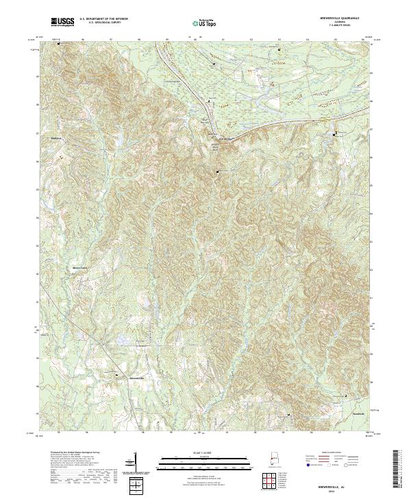
2024 Coatopa
Sumter County, AL
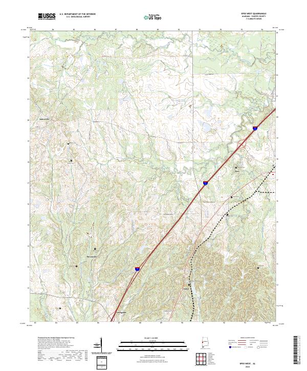
2024 Epes West
Sumter County, AL
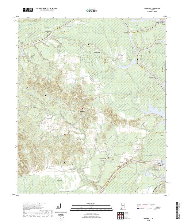
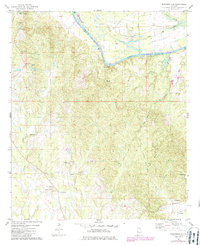
2024 McDowell
Sumter County, AL

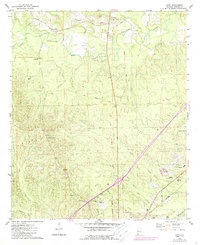
2024 Ward
Sumter County, AL
2024 Warsaw
Sumter County, AL