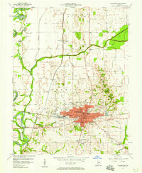
1957 Map of Washington
USGS Topo · Published 1958About this map
The railroad hub of Washington serves as the focal point of this 1957 survey, situated at the crossroads of the Baltimore and Ohio Railroad and the New York Central. The city's mid-century civic infrastructure is well-defined, featuring landmarks like the City Hall, Courthouse, and a concentrated network of neighborhood schools including West End Sch, Longfellow Sch, and South Side Sch. Beyond the urban core, the landscape transitions into the fertile bottomlands of the White River, where engineering features like the Washington Waterworks and various pumping stations manage the riparian environment.
Find a feature on this map
52 named features on this map. Tap any name to fly to it.
Don’t see what you’re looking for? This feature index may not catch every label — zoom into the map to look around manually.
Map Details
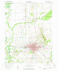
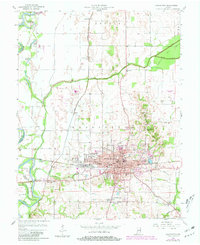
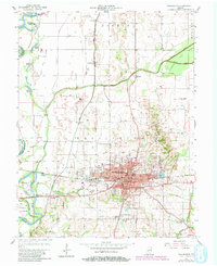
Editions of this 1957 Washington Map
4 editions found
Other maps of this area

1943 · Bicknell
USGS Topo · 1:24,000

1943 · Plainville
USGS Topo · 1:24,000

1943 · Epsom
USGS Topo · 1:24,000

1944 · Montgomery
USGS Topo · 1:24,000

1944 · Glendale
USGS Topo · 1:24,000

1944 · Washington
USGS Topo · 1:24,000

1944 · Monroe City
USGS Topo · 1:24,000

1944 · Wheatland
USGS Topo · 1:24,000

1945 · Sandy Hook
USGS Topo · 1:24,000

1956 · Vincennes
USGS Topo · 1:250,000