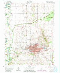
1957 Map of Washington
USGS Topo · Published 1982About this map
The Washington city center serves as the primary hub of Daviess County in this mid-century survey, showing the dense grid of a traditional Indiana county seat. The municipal infrastructure is well-defined, featuring landmarks such as the Post Office, Library, and County Hospital, along with several neighborhood institutions like West End Sch and South Side Sch. Beyond the city limits, the landscape transitions into an agricultural and industrial corridor shaped by the White River and its managed tributaries, including the Colbert Ditch and Prairie Creek.
Find a feature on this map
46 named features on this map. Tap any name to fly to it.
Don’t see what you’re looking for? This feature index may not catch every label — zoom into the map to look around manually.
Map Details
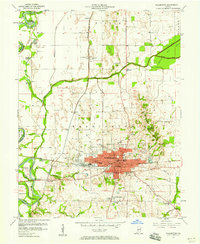
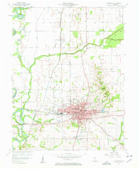
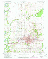
Editions of this 1957 Washington Map
4 editions found
Other maps of this area

1943 · Bicknell
USGS Topo · 1:24,000

1943 · Plainville
USGS Topo · 1:24,000

1943 · Epsom
USGS Topo · 1:24,000

1944 · Montgomery
USGS Topo · 1:24,000

1944 · Glendale
USGS Topo · 1:24,000

1944 · Washington
USGS Topo · 1:24,000

1944 · Monroe City
USGS Topo · 1:24,000

1944 · Wheatland
USGS Topo · 1:24,000

1945 · Sandy Hook
USGS Topo · 1:24,000

1956 · Vincennes
USGS Topo · 1:250,000