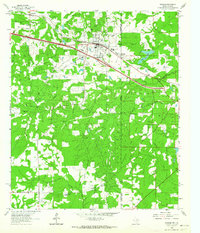
1962 Map of Waskom
USGS Topo · Published 1964About this map
Waskom sits at the heart of this East Texas borderland, where the Texas and Pacific railroad and major highways converge. The town's layout in the early 1960s reveals a community supported by the petroleum industry, evidenced by the large Gasoline Plant and numerous pipelines and wells dotting the terrain. Surrounding the town are significant local landmarks including the Abney High Sch and several cemeteries that reflect the area's genealogical history, such as Restland Cem and the unique Park Rest Pet Cem located near the state boundary.
Find a feature on this map
34 named features on this map. Tap any name to fly to it.
Don’t see what you’re looking for? This feature index may not catch every label — zoom into the map to look around manually.
Map Details
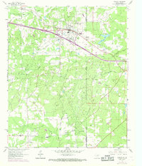
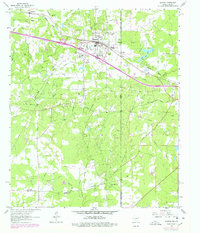
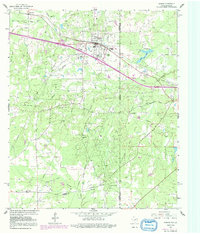
Editions of this 1962 Waskom Map
4 editions found
Other maps of this area

1943 · Waskom
USGS Topo · 1:62,500

1944 · Caddo Lake
USGS Topo · 1:62,500

1945 · Waskom
USGS Topo · 1:62,500

1945 · Greenwood
USGS Topo · 1:62,500

1946 · Caddo Lake
USGS Topo · 1:62,500

1948 · Mooringsport
USGS Topo · 1:62,500

1955 · Shreveport
USGS Topo · 1:250,000

1955 · Mooringsport
USGS Topo · 1:62,500

1955 · Greenwood
USGS Topo · 1:62,500

1956 · Shreveport
USGS Topo · 1:250,000