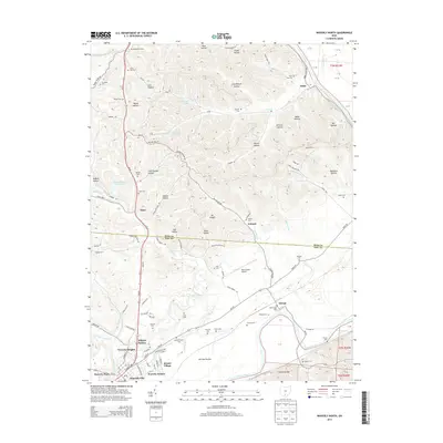
2013 Map of Waverly North
USGS Topo · Published 2013About this map
Waverly City and its expanding northern neighborhoods anchor this landscape along the Scioto River valley. The map reveals the transition from the structured residential blocks of Bristol Village and Kilgore Estates to the agricultural expanse of Pee Pee Prairie and the undulating terrain of the Appalachian foothills. This topography is defined by dozens of named hollows, including Rhine Hollow, Woods Hollow, and Moss Hollow, which illustrate the region's complex drainage into tributaries like Stony Cr and Wilson Run. Small, historically significant settlements such as Antonis, Alma, and Omega are scattered throughout, often associated with family-named burial grounds like Corvine Cem and Hatfield Cem. The layout of transportation routes like Us-23 and the Pike County Airport shows how modern infrastructure interacts with natural landmarks like Mt Pisgah and the meandering Crooked Creek.
Find a feature on this map
120 named features on this map. Tap any name to fly to it.
Don’t see what you’re looking for? This feature index may not catch every label — zoom into the map to look around manually.
Map Details
Editions of this 2013 Waverly North Map
This is the sole edition of this map. No revisions or reprints were ever made.
Other maps of this area

1906 · Waverly
USGS Topo · 1:62,500

1906 · Chillicothe
USGS Topo · 1:62,500

1908 · Chillicothe
USGS Topo · 1:62,500

1908 · Waverly
USGS Topo · 1:62,500

1912 · Roxabell
USGS Topo · 1:62,500

1914 · Roxabell
USGS Topo · 1:62,500

1915 · Piketon
USGS Topo · 1:62,500

1917 · Piketon
USGS Topo · 1:62,500

1944 · Piketon
USGS Topo · 1:62,500

1944 · Roxabell
USGS Topo · 1:62,500