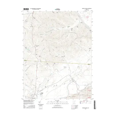
2016 Map of Waverly North
USGS Topo · Published 2016About this map
The Scioto River carves a broad valley through this portion of Pike County, where the sprawling residential layout of Bristol Village sits just north of Waverly. The landscape is defined by the sharp contrast between the flat river bottomlands, home to the Pike County Airport, and the densely wooded ridges of the Ross Co border to the north. This upland terrain is deeply dissected by numerous named hollows, including Cox Hollow, Rhine Hollow, and John George Hollow.
Find a feature on this map
110 named features on this map. Tap any name to fly to it.
Don’t see what you’re looking for? This feature index may not catch every label — zoom into the map to look around manually.
Map Details
Editions of this 2016 Waverly North Map
This is the sole edition of this map. No revisions or reprints were ever made.
Other maps of this area

1906 · Waverly
USGS Topo · 1:62,500

1906 · Chillicothe
USGS Topo · 1:62,500

1908 · Chillicothe
USGS Topo · 1:62,500

1908 · Waverly
USGS Topo · 1:62,500

1912 · Roxabell
USGS Topo · 1:62,500

1914 · Roxabell
USGS Topo · 1:62,500

1915 · Piketon
USGS Topo · 1:62,500

1917 · Piketon
USGS Topo · 1:62,500

1944 · Piketon
USGS Topo · 1:62,500

1944 · Roxabell
USGS Topo · 1:62,500