Loading...
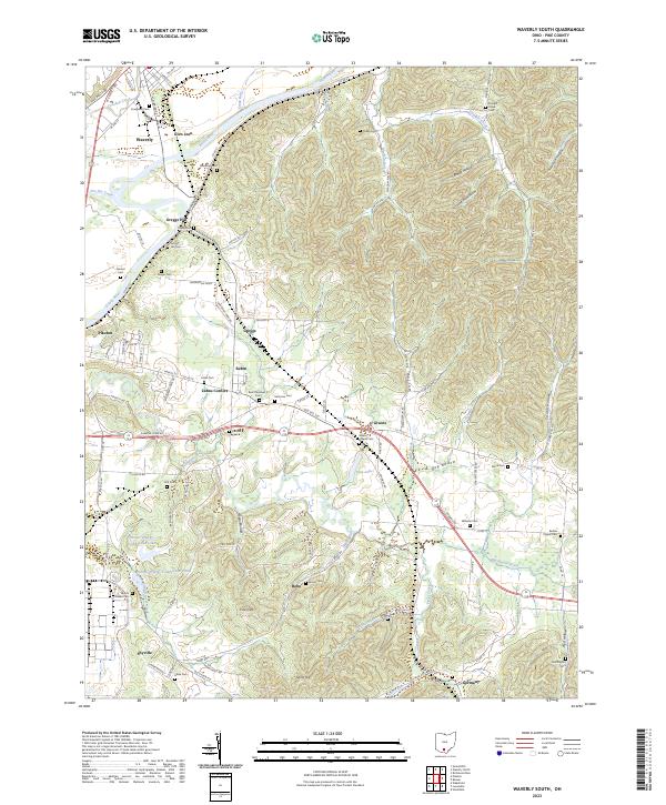
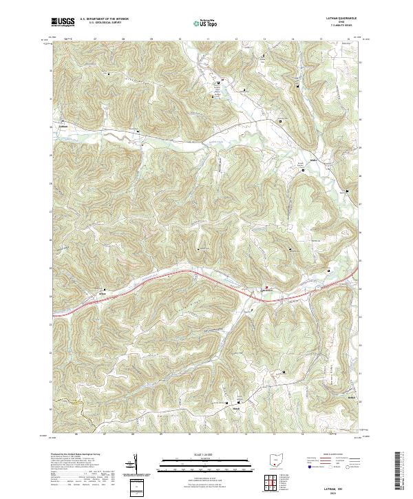
Loading map...2023 Map of Waverly South
USGS Topo · Published 2023About this map
The Scioto River corridor defines the topography of this Pike County region, where the flat river bottomlands transition abruptly into the dissected ridges of the Appalachian Plateau. The northern portion of the map is anchored by the community of Waverly, showing its industrial expansion along Innovation Pkwy and Industrial Park Dr. Further south, the landscape is marked by legacy infrastructure and small, established settlements like Zahns Corners and Givens.
Find a feature on this map
124 named features on this map. Tap any name to fly to it.
Don’t see what you’re looking for? This feature index may not catch every label — zoom into the map to look around manually.
Map Details
Date Portrayed2023
Date Published2023
PublisherU.S. Geological Survey
Map TypeTopographic
Scale1:24000
Physical Dimensions24 x 29 inches
Editions of this 2023 Waverly South Map
This is the sole edition of this map. No revisions or reprints were ever made.
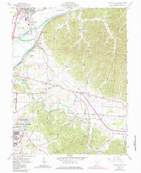
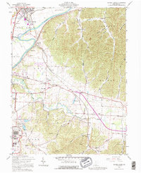
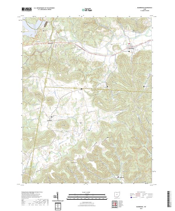
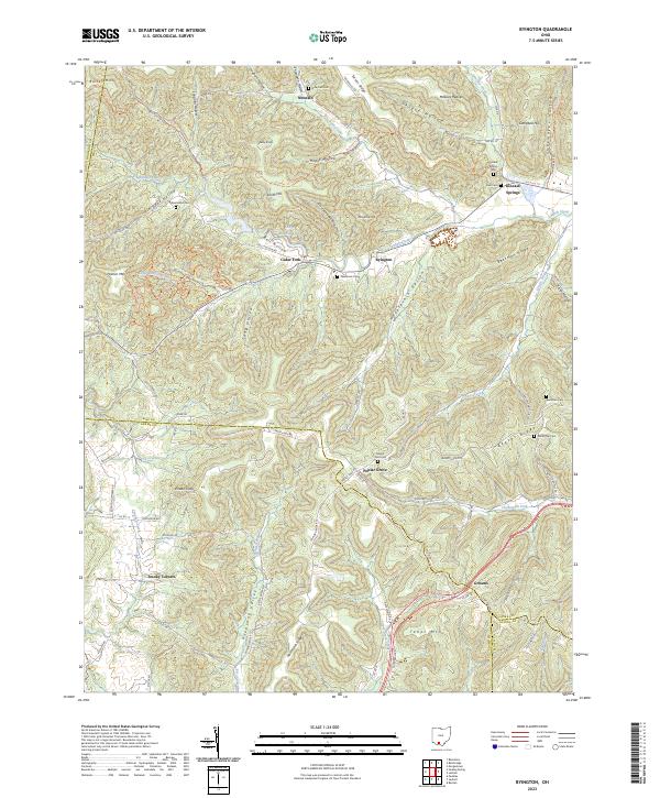
Historical Maps of Waverly Place Through Time
9 maps found
Featured Locations
Source Details
SourceU.S. Geological Survey
CopyrightPublic Domain