Loading...
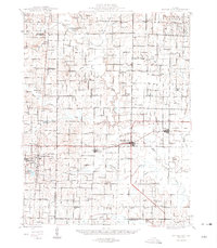
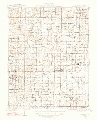
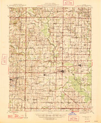
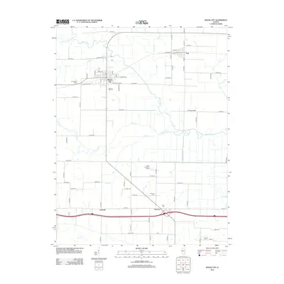
Loading map...1947 Map of Wayne City
USGS Topo · Published 1947About this map
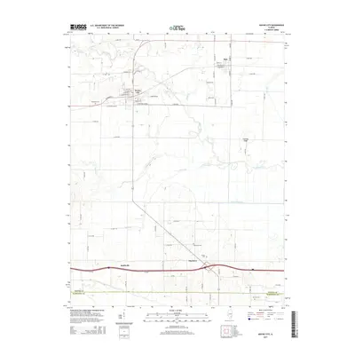
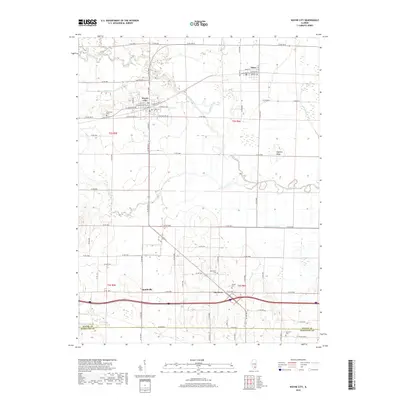
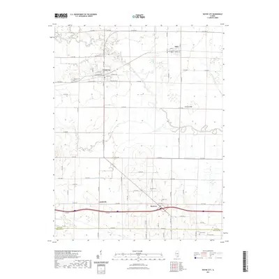
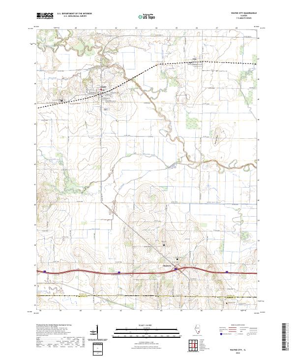
Skillet Fork and its complex network of tributaries, including Horse Creek and Fourmile Creek, dominate this mid-century landscape of southern Illinois. The area is characterized by a high density of rural institutions, with dozens of one-room schoolhouses like Mills Sch and Berry Sch serving scattered agricultural communities. The Southern railroad corridor acts as the primary industrial spine, linking the settlements of Bluford, Keenes, Wayne City, and Sims.
Find a feature on this map
114 named features on this map. Tap any name to fly to it.
Don’t see what you’re looking for? This feature index may not catch every label — zoom into the map to look around manually.
Map Details
Date Portrayed1947
Date Published1947
PublisherU.S. Geological Survey
Map TypeTopographic
Scale1:62,500
Physical Dimensions18 x 20.6 inches
Editions of this 1947 Wayne City Map
3 editions found
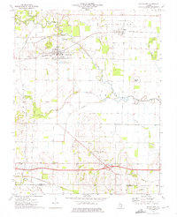
Historical Maps of Wayne City Through Time
7 maps found
Featured Locations
Source Details
SourceU.S. Geological Survey
CopyrightPublic Domain