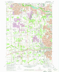
1968 Map of Wayne
USGS Topo · Published 1974About this map
Suburban expansion across western Wayne County is captured in detail by this mid-century survey, which documents the rapid development of Plymouth, Westland, and Livonia. The landscape is a network of municipal boundaries and evolving infrastructure, where the Chesapeake and Ohio Railroad and major corridors like Ford Road anchor the region's transport economy. Older settlement patterns remain visible in features like the small hamlet of Sheldon and several historic burial grounds, including Newburgh Cem and Riverside Cemetery.
Find a feature on this map
105 named features on this map. Tap any name to fly to it.
Don’t see what you’re looking for? This feature index may not catch every label — zoom into the map to look around manually.
Map Details
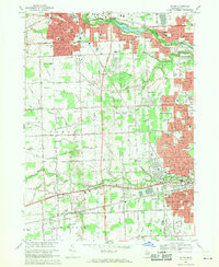
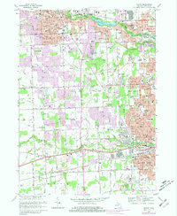
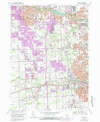
Editions of this 1968 Wayne Map
4 editions found
Other maps of this area

1902 · South Lyon
USGS Topo · 1:62,500

1902 · Ypsilanti
USGS Topo · 1:62,500

1904 · Ann Arbor
USGS Topo · 1:125,000

1905 · Wayne
USGS Topo · 1:62,500

1906 · Ypsilanti
USGS Topo · 1:62,500

1906 · South Lyon
USGS Topo · 1:62,500

1906 · Romulus
USGS Topo · 1:62,500

1908 · Ann Arbor
USGS Topo · 1:125,000

1912 · Wayne
USGS Topo · 1:62,500

1928 · Romulus
USGS Topo · 1:62,500
Featured Places
- Canton Township, MI
- Canton Charter Township, Canton Township
- Livonia, MI
- Westland, MI
- Van Buren Charter Township, MI