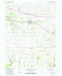
1962 Map of Waynetown
USGS Topo · Published 1980About this map
The town of Waynetown serves as the central hub of this west-central Indiana landscape, situated along the East Fork Coal Creek. By the early 1960s, the area maintained a dense grid of rural corridors such as 400 North Road and 200 North Road, connecting smaller communities like Wesley and Taylor Corner. The transportation network is defined by the Conrail line cutting northwest across the terrain and the presence of highway infrastructure like the Rest Areas near the western boundary.
Find a feature on this map
37 named features on this map. Tap any name to fly to it.
Don’t see what you’re looking for? This feature index may not catch every label — zoom into the map to look around manually.
Map Details
Editions of this 1962 Waynetown Map
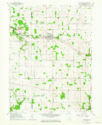
2 editions found
Other maps of this area

1948 · Wallace
USGS Topo · 1:24,000

1949 · Alamo
USGS Topo · 1:24,000

1953 · Danville
USGS Topo · 1:250,000

1953 · Indianapolis
USGS Topo · 1:250,000

1955 · Danville
USGS Topo · 1:250,000

1956 · Danville
USGS Topo · 1:250,000

1956 · Indianapolis
USGS Topo · 1:250,000

1956 · Crawfordsville
USGS Topo · 1:24,000

1956 · New Market
USGS Topo · 1:24,000

1957 · Indianapolis
USGS Topo · 1:250,000