
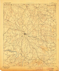
1893 Map of Weatherford
USGS Topo · Published 1893About this map
Weatherford serves as the central hub for Parker County in this late-19th-century survey, sitting at the junction of the Texas and Pacific Railway and a burgeoning network of wagon roads. The landscape is defined by the winding drainage systems of the Clear Fork of Trinity River and the West Fork, where early industrial landmarks like Center Mill and specialized river crossings such as Powell Ferry and Stephensville Crossing facilitated local trade.
Find a feature on this map
81 named features on this map. Tap any name to fly to it.
Don’t see what you’re looking for? This feature index may not catch every label — zoom into the map to look around manually.
Map Details
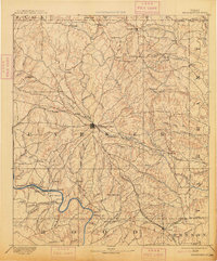
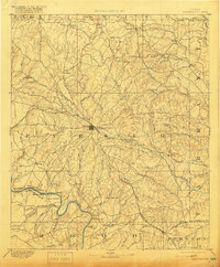
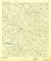
Editions of this 1893 Weatherford Map
5 editions found
Other maps of this area

1889 · Granbury
USGS Topo · 1:125,000

1890 · Stephenville
USGS Topo · 1:125,000

1891 · Weatherford
USGS Topo · 1:125,000

1891 · Palo Pinto
USGS Topo · 1:125,000

1891 · Cleburne
USGS Topo · 1:125,000

1894 · Cleburne
USGS Topo · 1:125,000

1894 · Fort Worth
USGS Topo · 1:125,000

1918 · Palo Pinto
USGS Topo · 1:125,000

1920 · Stephenville
USGS Topo · 1:125,000

1923 · Granbury 2-a
USGS Topo · 1:48,000