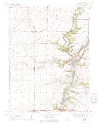
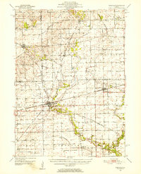
1970 Map of Wedron
USGS Topo · Published 1972About this map
The Fox River carves a deep valley through LaSalle County in the early 1970s, joined by the winding Indian Creek near the settlement of Wedron. This landscape is defined by the intersection of water and industry, with several Gravel extraction sites and a Gravel Pit lining the river bluffs. To the south, Dayton sits near the riverbanks, while the northern outskirts of Ottawa appear at the bottom edge of the sheet, marked by a Radio Tower and the First Nazarene Ch.
Find a feature on this map
26 named features on this map. Tap any name to fly to it.
Don’t see what you’re looking for? This feature index may not catch every label — zoom into the map to look around manually.
Map Details
Editions of this 1970 Wedron Map
2 editions found
Other maps of this area

1892 · Marseilles
USGS Topo · 1:62,500

1892 · Ottawa
USGS Topo · 1:62,500
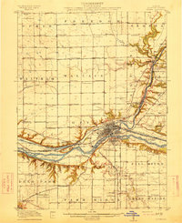
1915 · Ottawa
USGS Topo · 1:62,500

1916 · Marseilles
USGS Topo · 1:62,500
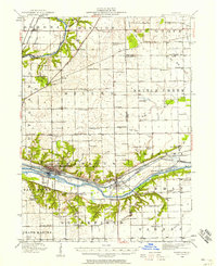
1940 · Marseilles
USGS Topo · 1:62,500

1946 · Ottawa
USGS Topo · 1:62,500

1948 · Sandwich
USGS Topo · 1:62,500

1950 · Sandwich
USGS Topo · 1:62,500
1951 · Earlville
USGS Topo · 1:62,500

1958 · Aurora
USGS Topo · 1:250,000