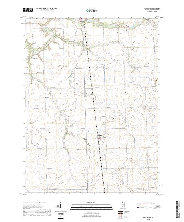
2024 Map of Wellington
USGS Topo · Published 2024About this map
The agricultural landscape of Iroquois County is defined by the meandering courses of Sugar Creek and Gay Creek, which break the geometric precision of the township and range survey lines. This section of eastern Illinois centers on the village of Wellington, where Main St and Bulldog Rd provide local structure amidst a vast network of section-line roads like E 400 North Rd. To the north, the larger settlement of Milford sits along the banks of Sugar Creek, a waterway that historically influenced the placement of early infrastructure and burials. Genealogists will find the preservation of local history at the Old Milford Cem and the Sugar Creek Cem near the eastern boundary. The small rail-side hamlet of Alonzo further illustrates the dispersed nature of these rural communities, where grain elevators and homesteads are connected by a grid of numbered roads.
Find a feature on this map
44 named features on this map. Tap any name to fly to it.
Don’t see what you’re looking for? This feature index may not catch every label — zoom into the map to look around manually.
Map Details
Editions of this 2024 Wellington Map
This is the sole edition of this map. No revisions or reprints were ever made.
Other maps of this area

1933 · Hoopeston
USGS Topo · 1:48,000

1936 · Potomac
USGS Topo · 1:62,500

1938 · Milford
USGS Topo · 1:48,000

1938 · Hoopeston
USGS Topo · 1:62,500

1939 · Cissna Park
USGS Topo · 1:62,500

1944 · Milford
USGS Topo · 1:62,500

1949 · Cissna Park
USGS Topo · 1:62,500

1953 · Danville
USGS Topo · 1:250,000

1955 · Danville
USGS Topo · 1:250,000

1956 · Danville
USGS Topo · 1:250,000