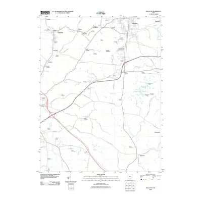
2010 Map of Wellston
USGS Topo · Published 2010About this map
The industrial and civic hub of Wellston anchors this southern Ohio landscape, surrounded by a dense network of smaller settlements and historical sites. Numerous small communities, such as Coalton, Glen Roy, Goldsboro, and Ironton Junction, speak to the region's coal and rail heritage. The landscape is marked by several hollows, including Grace Hollow and Eisnaugle Hollow, and drained by Pigeon Creek and Salt Lick Creek.
Find a feature on this map
98 named features on this map. Tap any name to fly to it.
Don’t see what you’re looking for? This feature index may not catch every label — zoom into the map to look around manually.
Map Details
Editions of this 2010 Wellston Map
This is the sole edition of this map. No revisions or reprints were ever made.
Other maps of this area

1905 · Wilkesville
USGS Topo · 1:62,500

1906 · Bidwell
USGS Topo · 1:62,500

1908 · Bidwell
USGS Topo · 1:62,500

1908 · Wilkesville
USGS Topo · 1:62,500

1912 · Oak Hill
USGS Topo · 1:62,500

1913 · Jackson
USGS Topo · 1:62,500

1944 · Jackson
USGS Topo · 1:62,500

1947 · Columbus
USGS Topo · 1:250,000

1957 · Huntington
USGS Topo · 1:250,000

1960 · Huntington
USGS Topo · 1:250,000