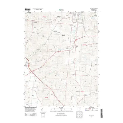
2013 Map of Wellston
USGS Topo · Published 2013About this map
The urban centers of Wellston and Jackson anchor this topographic study of southern Ohio, illustrating the region's complex network of small settlements and coal-era infrastructure. The landscape is dotted with numerous small communities such as Coalton, Englishville, and Glen Roy, often situated along the arterial Railroad lines that historically fueled local industry. The importance of family and local history is evident in the high density of burial grounds, including the Ridgewood Cemetery and the Licks Cemetery. Natural features like Little Raccoon Creek and Flint Run carve through the terrain, while landmarks such as the Jackson County Fairground and Baisden Airport mark the modern development of the Franklin Valley area. This map reveals a transition between established town grids and the winding roads of the rural uplands, where places like Tom Corwin and Ironton Junction serve as geographic touchstones.
Find a feature on this map
125 named features on this map. Tap any name to fly to it.
Don’t see what you’re looking for? This feature index may not catch every label — zoom into the map to look around manually.
Map Details
Editions of this 2013 Wellston Map
This is the sole edition of this map. No revisions or reprints were ever made.
Other maps of this area

1905 · Wilkesville
USGS Topo · 1:62,500

1906 · Bidwell
USGS Topo · 1:62,500

1908 · Bidwell
USGS Topo · 1:62,500

1908 · Wilkesville
USGS Topo · 1:62,500

1912 · Oak Hill
USGS Topo · 1:62,500

1913 · Jackson
USGS Topo · 1:62,500

1944 · Jackson
USGS Topo · 1:62,500

1947 · Columbus
USGS Topo · 1:250,000

1957 · Huntington
USGS Topo · 1:250,000

1960 · Huntington
USGS Topo · 1:250,000