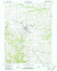
1973 Map of Wellsville
USGS Topo · Published 1984About this map
Wellsville serves as the central hub of this Missouri landscape, anchored by the Norfolk and Western railroad corridor. The town's infrastructure is clearly visible, including the High Sch, several Sewage Disposal Ponds, and the nearby City Lake. The surrounding township of Upper Loutre is defined by a network of waterways including Coon Creek, Little Loutre Creek, and Elkhorn Creek, which carve through the Montgomery County terrain.
Find a feature on this map
29 named features on this map. Tap any name to fly to it.
Don’t see what you’re looking for? This feature index may not catch every label — zoom into the map to look around manually.
Map Details
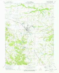
Editions of this 1973 Wellsville Map
2 editions found
Other maps of this area

1890 · Louisiana
USGS Topo · 1:125,000

1890 · Mexico
USGS Topo · 1:125,000

1890 · Hermann
USGS Topo · 1:125,000

1890 · Fulton
USGS Topo · 1:125,000

1940 · Montgomery City
USGS Topo · 1:62,500

1942 · Montgomery City
USGS Topo · 1:62,500

1942 · Wellsville
USGS Topo · 1:62,500

1942 · New Florence
USGS Topo · 1:62,500

1942 · Bellflower
USGS Topo · 1:62,500

1945 · Bellflower
USGS Topo · 1:62,500