
1914 Map of West Cincinnati
USGS Topo · Published 1914About this map
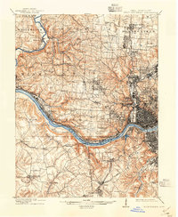
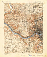
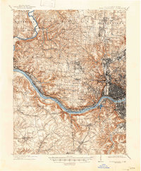
The Ohio River valley at the start of the Great War era shows a bustling industrial and academic landscape, dominated by the dense urban grid of Cincinnati and its emerging suburban neighbors. The map details a sophisticated transportation network where the Chesapeake and Ohio and the Cleveland Cincinnati Chicago and St Louis railroads track along the riverbanks, serving riverside communities like Sekitan and Addyston. Educational and social institutions are prominent, from the University of Cincinnati and the Ohio Military Institute to the Good Shepherd Convent and the Zoological Garden. North of the city, the landscape transitions into township sections like Colerain and Springfield, where numbered schoolhouses such as School No 11 and School No 7 and rural landmarks like Stones Church reveal the earlier settlement patterns of the county.
Find a feature on this map
103 named features on this map. Tap any name to fly to it.
Don’t see what you’re looking for? This feature index may not catch every label — zoom into the map to look around manually.
Map Details
Editions of this 1914 West Cincinnati Map
4 editions found
Other maps of this area

1898 · East Cincinnati
USGS Topo · 1:62,500

1904 · Mason
USGS Topo · 1:62,500

1906 · Mason
USGS Topo · 1:62,500

1914 · East Cincinnati
USGS Topo · 1:62,500

1915 · Lawrenceburg
USGS Topo · 1:48,000

1915 · Harrison
USGS Topo · 1:48,000

1915 · Hamilton
USGS Topo · 1:62,500

1917 · Hamilton
USGS Topo · 1:62,500

1928 · Lawrenceburg
USGS Topo · 1:62,500

1929 · Alexandria
USGS Topo · 1:48,000