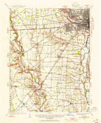
1923 Map of West Columbus
USGS Topo · Published 1955This historical map portrays the area of West Columbus in 1923, primarily covering Franklin County as well as portions of Madison County and Pickaway County. Featuring a scale of 1:62500, this map provides a highly detailed snapshot of the terrain, roads, buildings, counties, and historical landmarks in the West Columbus region at the time. Published in 1955, it is the sole known edition of this map.
Map Details
Editions of this 1923 West Columbus Map
This is the sole edition of this map. No revisions or reprints were ever made.
Historical Maps of Franklin County Through Time
16 maps found

1923 West Columbus
Franklin County, OH
1925 East Columbus
Franklin County, OH
1925 West Columbus
Franklin County, OH
1943 East Columbus
Franklin County, OH
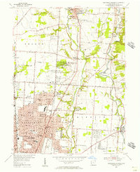
1954 Northeast Columbus
Franklin County, OH
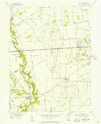
1955 Galloway
Franklin County, OH
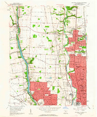
1955 Northwest Columbus
Franklin County, OH
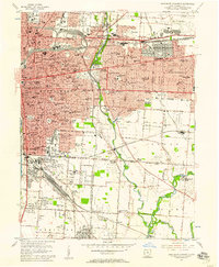
1955 Southeast Columbus
Franklin County, OH
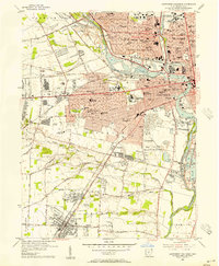
1955 Southwest Columbus
Franklin County, OH
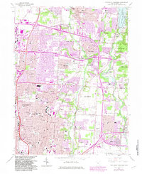
1964 Northeast Columbus
Franklin County, OH
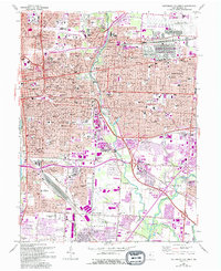
1964 Southeast Columbus
Franklin County, OH
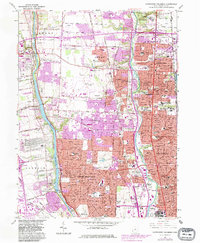
1965 Northwest Columbus
Franklin County, OH
1965 Southwest Columbus
Franklin County, OH
1966 Galloway
Franklin County, OH
1995 Northeast Columbus
Franklin County, OH
1995 Northwest Columbus
Franklin County, OH
Featured Locations
Source Details




1923 Map of West Columbus - Wall Art
Limited time deal
-20%$23.20 USD
Was $29.00
Elevate your space or surprise a special someone with a stunning museum-quality map print.
Professionally curated for visual appeal
Your map will be gorgeous and historically accurate
Museum-grade quality
Professionally printed with Epson Ultrachrome GS3 ink on thick matte paper, yielding brilliant colors and details
