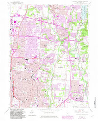
1964 Map of Northeast Columbus
USGS Topo · Published 1983About this map
Westerville and the surrounding northeast suburbs of Columbus are shown here during a period of rapid mid-century expansion. The landscape is defined by the corridors of Alum Creek and Big Walnut Creek, with the eastern edge bounded by the Hoover Reservoir. Historic institutions like Otterbein College and its associated Otterbein Cem anchor the north, while the southern portion of the sheet transitions into the industrial and transportation hub near Port Columbus International Airport. The map captures the suburbanization of smaller settlements such as Mifflinville, Parks Mills, and Huber Ridge. Notable green spaces, including Sharon Woods Metropolitan Park and Blendon Woods Metropolitan Park, provide a counterpoint to the growing network of residential streets and the sprawling Columbus Corporation Boundary. Local genealogical interest is found in the many neighborhood schools like McKinley High Sch and several parish schools including St Mathias Sch.
Find a feature on this map
54 named features on this map. Tap any name to fly to it.
Don’t see what you’re looking for? This feature index may not catch every label — zoom into the map to look around manually.
Map Details
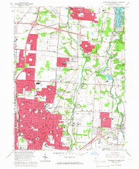
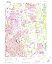
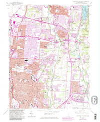
Editions of this 1964 Northeast Columbus Map
4 editions found
Other maps of this area

1901 · Dublin
USGS Topo · 1:62,500

1902 · Westerville
USGS Topo · 1:62,500

1903 · Dublin
USGS Topo · 1:62,500

1904 · Westerville
USGS Topo · 1:62,500

1923 · West Columbus
USGS Topo · 1:62,500

1925 · East Columbus
USGS Topo · 1:62,500

1925 · West Columbus
USGS Topo · 1:62,500

1943 · East Columbus
USGS Topo · 1:62,500

1947 · Columbus
USGS Topo · 1:250,000

1950 · Marion
USGS Topo · 1:250,000