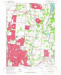
1964 Map of Northeast Columbus
USGS Topo · Published 1966About this map
Westerville and its surrounding townships show a landscape in rapid transition during the mid-1960s as suburban residential development pushes north from Columbus. The expansion of Gahanna and the emergence of planned communities like Huber Ridge are visible alongside established institutions such as Otterbein College. Significant infrastructure projects define the era, most notably the construction of Interstate 270, which bisects the northern half of the sheet. To the east, the Hoover Reservoir and its associated dam provide a major hydrological anchor, while Port Columbus International Airport dominates the southeast corner. The map documents numerous local schools and cemeteries, such as Otterbein Cem and Riverside Cem, preserving the location of family landmarks and civic centers like Mifflinville before they were fully integrated into the metropolitan sprawl.
Find a feature on this map
84 named features on this map. Tap any name to fly to it.
Don’t see what you’re looking for? This feature index may not catch every label — zoom into the map to look around manually.
Map Details
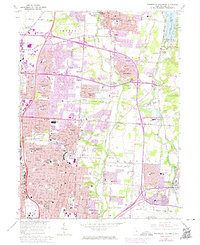
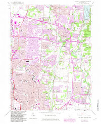
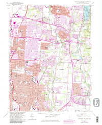
Editions of this 1964 Northeast Columbus Map
4 editions found
Other maps of this area

1901 · Dublin
USGS Topo · 1:62,500

1902 · Westerville
USGS Topo · 1:62,500

1903 · Dublin
USGS Topo · 1:62,500

1904 · Westerville
USGS Topo · 1:62,500

1923 · West Columbus
USGS Topo · 1:62,500

1925 · East Columbus
USGS Topo · 1:62,500

1925 · West Columbus
USGS Topo · 1:62,500

1943 · East Columbus
USGS Topo · 1:62,500

1947 · Columbus
USGS Topo · 1:250,000

1950 · Marion
USGS Topo · 1:250,000