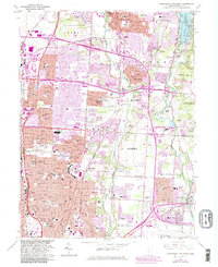
1964 Map of Northeast Columbus
USGS Topo · Published 1983About this map
Alum Creek and Big Walnut Creek anchor the landscape of this Franklin County survey, which documents the rapid suburban expansion of Columbus in the mid-20th century. The northern reaches show Westerville as an established educational and social hub, centered around the grounds of Otterbein College and the historic Otterbein Cem. As the city pushes outward, the map captures a transition from rural townships like Sharon and Mifflin to planned residential developments such as Huber Ridge and Minerva Park.
Find a feature on this map
83 named features on this map. Tap any name to fly to it.
Don’t see what you’re looking for? This feature index may not catch every label — zoom into the map to look around manually.
Map Details
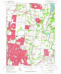
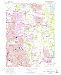
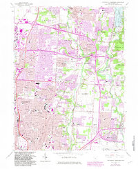
Editions of this 1964 Northeast Columbus Map
4 editions found
Other maps of this area

1901 · Dublin
USGS Topo · 1:62,500

1902 · Westerville
USGS Topo · 1:62,500

1903 · Dublin
USGS Topo · 1:62,500

1904 · Westerville
USGS Topo · 1:62,500

1923 · West Columbus
USGS Topo · 1:62,500

1925 · East Columbus
USGS Topo · 1:62,500

1925 · West Columbus
USGS Topo · 1:62,500

1943 · East Columbus
USGS Topo · 1:62,500

1947 · Columbus
USGS Topo · 1:250,000

1950 · Marion
USGS Topo · 1:250,000