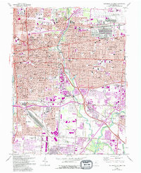
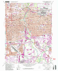
1964 Map of Southeast Columbus
USGS Topo · Published 1994About this map
The Alum Creek corridor anchors this mid-century portrait of Franklin County, showing the rapid eastward expansion of Columbus into the neighboring cities of Bexley and Whitehall. Large-scale military and industrial footprints dominate the landscape, notably the sprawling Defense Construction Supply Center and Air Force Plant No 85, which sits adjacent to Port Columbus International Airport. These facilities, alongside rail junctions at Valley Crossing and Bannon, illustrate the region's importance as a logistics hub.
Find a feature on this map
85 named features on this map. Tap any name to fly to it.
Don’t see what you’re looking for? This feature index may not catch every label — zoom into the map to look around manually.
Map Details
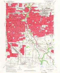
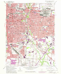
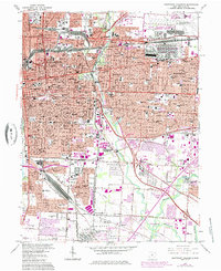
Editions of this 1964 Southeast Columbus Map
5 editions found
Other maps of this area

1901 · Dublin
USGS Topo · 1:62,500

1902 · Westerville
USGS Topo · 1:62,500

1903 · Dublin
USGS Topo · 1:62,500

1904 · Westerville
USGS Topo · 1:62,500

1923 · West Columbus
USGS Topo · 1:62,500

1925 · East Columbus
USGS Topo · 1:62,500

1925 · West Columbus
USGS Topo · 1:62,500

1943 · East Columbus
USGS Topo · 1:62,500

1947 · Columbus
USGS Topo · 1:250,000

1950 · Marion
USGS Topo · 1:250,000