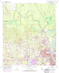
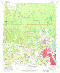
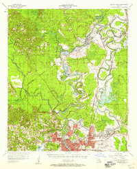
1957 Map of West Monroe North
USGS Topo · Published 1975About this map
The Ouachita River defines the eastern boundary of this study, where the urban expansion of West Monroe and Monroe is documented through significant mid-century growth. The landscape transitions from the dense street grids of the city to the meandering waters of Choudrant Bayou and Bayou D'Arbonne in the north. This 1957 survey, updated with 1975 revisions, captures the integration of industrial and residential life, specifically along the Illinois Central Gulf railroad corridor.
Find a feature on this map
64 named features on this map. Tap any name to fly to it.
Don’t see what you’re looking for? This feature index may not catch every label — zoom into the map to look around manually.
Map Details
Editions of this 1957 West Monroe North Map
4 editions found

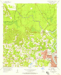
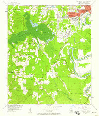
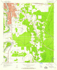
Other maps of this area

1935 · Drew
USGS Topo · 1:62,500
1940 · Monroe
USGS Topo · 1:62,500
1952 · Calhoun
USGS Topo · 1:62,500

1953 · Chatham
USGS Topo · 1:62,500

1955 · Shreveport
USGS Topo · 1:250,000

1956 · Shreveport
USGS Topo · 1:250,000
1957 · Monroe North
USGS Topo · 1:62,500
1957 · West Monroe North
USGS Topo · 1:24,000
1957 · West Monroe South
USGS Topo · 1:24,000
1957 · Monroe South
USGS Topo · 1:24,000