
1957 Map of West Monroe South
USGS Topo · Published 1958About this map
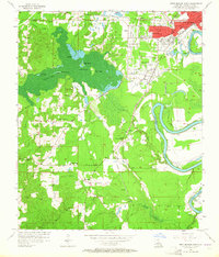
The Cheniere Brake dominates the western portion of this 1957 landscape, a sprawling wetland system punctuated by Pine Island, Joes Island, and Coon Island. This area in Ouachita Parish illustrates a transition from the industrial and residential outskirts of West Monroe and Bawcomville to the rural timber and creek bottomlands of the south. The Ouachita River snakes along the eastern edge, bordered by a system of levees that protect settlements like Wilds and Brownville.
Find a feature on this map
58 named features on this map. Tap any name to fly to it.
Don’t see what you’re looking for? This feature index may not catch every label — zoom into the map to look around manually.
Map Details
Editions of this 1957 West Monroe South Map
4 editions found
Other maps of this area

1935 · Drew
USGS Topo · 1:62,500

1940 · Monroe
USGS Topo · 1:62,500

1952 · Calhoun
USGS Topo · 1:62,500

1953 · Chatham
USGS Topo · 1:62,500

1955 · Shreveport
USGS Topo · 1:250,000

1956 · Shreveport
USGS Topo · 1:250,000

1957 · Monroe North
USGS Topo · 1:62,500

1957 · West Monroe North
USGS Topo · 1:24,000

1957 · Monroe South
USGS Topo · 1:24,000

1957 · Monroe South
USGS Topo · 1:62,500