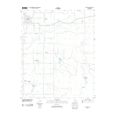
2010 Map of Wetumka
USGS Topo · Published 2010About this map
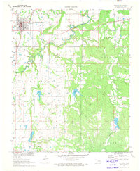
Wetumka serves as the primary hub in this Hughes County landscape, where the town's northwestern corner is flanked by Wetumka Cemetery and Petes Airpark. The area is defined by a dense network of winding waterways, most notably Wewoka Creek and its tributaries like Fish Creek and Greasy Creek. These natural features are frequently modified by local water management infrastructure, indicated by numerous family-named landmarks such as the John Heath Dam, George Smith Dam, and Don Wallace Dam.
Find a feature on this map
33 named features on this map. Tap any name to fly to it.
Don’t see what you’re looking for? This feature index may not catch every label — zoom into the map to look around manually.
Map Details
Editions of this 2010 Wetumka Map
This is the sole edition of this map. No revisions or reprints were ever made.
Other maps of this area

1900 · Wewoka
USGS Topo · 1:125,000

1954 · Oklahoma City
USGS Topo · 1:250,000

1957 · Oklahoma City
USGS Topo · 1:250,000

1963 · Oklahoma City
USGS Topo · 1:250,000

1967 · Okemah SE
USGS Topo · 1:24,000

1967 · Weleetka
USGS Topo · 1:24,000
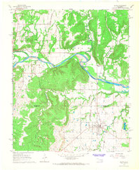
1967 · Dustin
USGS Topo · 1:24,000
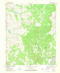
1970 · Lamar
USGS Topo · 1:24,000
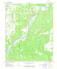
1971 · Wetumka SE
USGS Topo · 1:24,000
1971 · Wetumka
USGS Topo · 1:24,000